Login

Login oublié ?

Cookies have to be accepted!
Your browser's cookie functionality is disabled. Please enable this functionality.

Not a member yet?

Register now
Login

Available for registred users only

Log in to use this feature.

Login oublié ?

Cookies have to be accepted!
Your browser's cookie functionality is disabled. Please enable this functionality.

Not a member yet?

Register now
Filter
Catégories
Advanced filters
  • Longueur (km)
  • Altimètre
Enregistrer le filtre Reset filter

TrackRank

QRCode

Technical data

Longueur34,1 km Altimètre448 m Way down458 m Durée02:00 h:m Date04.05.2010
Evaluations Author User Paysage Aspect amusement Condition Technique

Statistiques

599 Vues 3 Evaluations 145 Téléchargements 3.00 Moyenne
Rate
  • Feuille de tours
  • Arrivée
  • Téléchargements

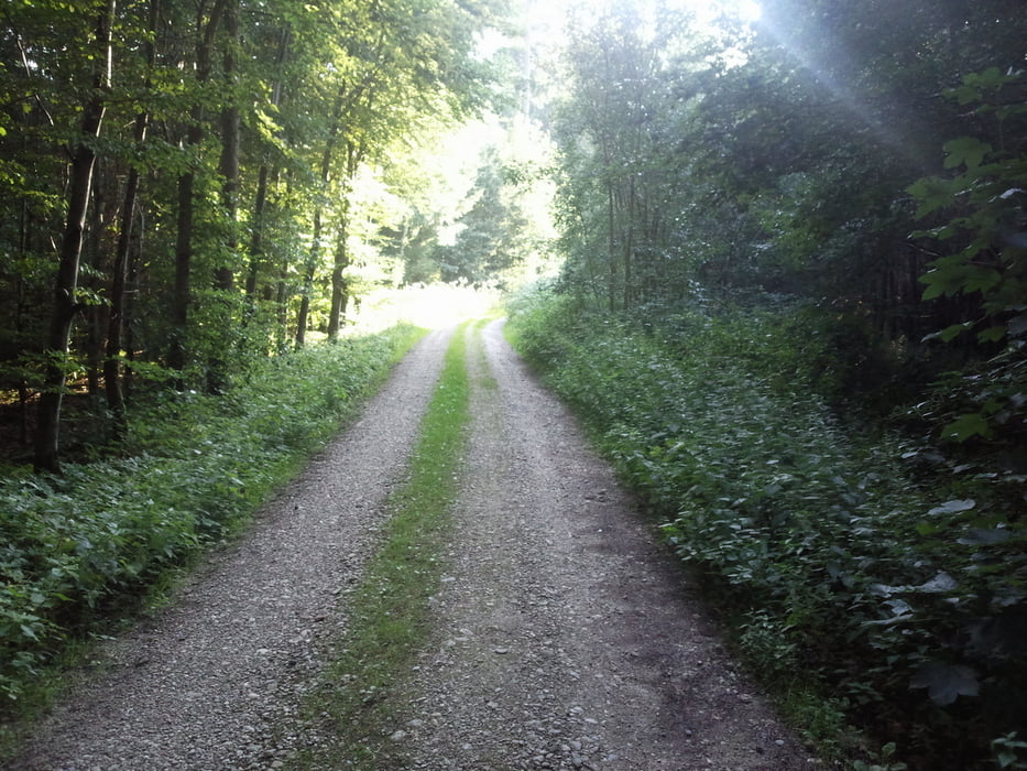
Die Strecke Startet in Moosen/Vils und führt uns auf den Vilstalradweg nach Taufkirchen/Vils und von dort aus weiter nach Frauenvils. Ab hier geht es durch den Wald und weiter auf Feld-und Wiesenwegen gemischt mit Terrstr. und Schotterstr.. Das Gelände wechselt in einem Bergauf-Bergab und führt uns durch einige kleine Ortschaften die auf dem Weg liegen.     

Further information at

http://www.taufkirchen.de/

Galerie du tour

Carte du tour et altitude

  • Open Street Map
  • Google
Minimum height 452 m Maximum height 530 m Vue de détail

More about the tour author

Michi5
Member since 2009

Send private message

Commentaires

Tracks GPS

Trackpoints
  • GPX / Garmin Map Source (gpx) download
  • TCX / Garmin Training Center® (tcx) download
  • CRS / Garmin Training Center® (crs) download
  • Google Earth (kml) download
  • G7ToWin (g7t) download
  • TTQV (trk) download
  • Overlay (ovl) download
  • Fugawi (txt) download
  • Kompass (DAV) Track (tk) download
  • Feuille de tours (pdf) download
  • Original file of the author (gpx) download

More about the tour author

Michi5
Member since 2009

Send private message
Share track
Add to my favorites
Remove from my favorites
Edit tags
My score
Rate
Tour: von Moosen durchs Holzland (Rundkurs)
Cat.: Mountainbike
Longueur: 34,1 km
Evaluated on:
Durée:
Day(s)
Hour(s)
Minute(s)
Evaluation: Paysage Aspect amusement Condition Technique