Login

Login oublié ?

Cookies have to be accepted!
Your browser's cookie functionality is disabled. Please enable this functionality.

Not a member yet?

Register now
Login

Available for registred users only

Log in to use this feature.

Login oublié ?

Cookies have to be accepted!
Your browser's cookie functionality is disabled. Please enable this functionality.

Not a member yet?

Register now
Filter
Catégories
Advanced filters
  • Longueur (km)
  • Altimètre
Enregistrer le filtre Reset filter

TrackRank

QRCode

Technical data

Longueur91,1 km Altimètre1351 m Way down1384 m Durée00:00 h:m Date03.10.2006
Evaluations Author Paysage Aspect amusement Condition Technique

Statistiques

580 Vues Evaluations 119 Téléchargements Moyenne
Rate
  • Feuille de tours
  • Arrivée
  • Téléchargements
Tagestour von Böblingen durch den Schönbuch :
Böblingen Richtung Herrenberg
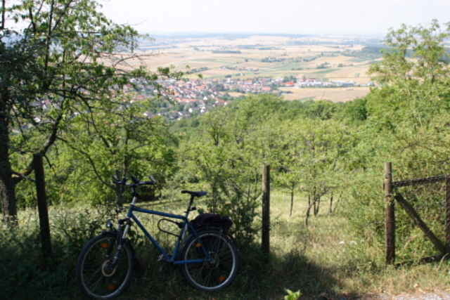
Südkante des Schönbuchs
Tübingen
Neckartal
Schönbuch über Dettenhausen zurück

Galerie du tour

Carte du tour et altitude

  • Open Street Map
  • Google
Minimum height 274 m Maximum height 592 m Vue de détail

More about the tour author

raapl
Member since 2006

Send private message

Commentaires

Thommy75 on 27.06.2008

Höhenangabe

Hi, kann es sein, dass Du Dich bei der Höhenangabe etwas vertippt hast ? VG Thommy

Jo, da hast Du aber wirklich recht! Schließlich war das ja kein Transalp.
Ich hab die Höhenmeter mal auf vorsichtige 250 m gerundet.
Start und Ende am Böblinger Aussischtsturm ( nähe Krankenhaus ).
Nächste S-Bahnstation ist BB-Goldberg

Tracks GPS

Trackpoints
  • GPX / Garmin Map Source (gpx) download
  • TCX / Garmin Training Center® (tcx) download
  • CRS / Garmin Training Center® (crs) download
  • Google Earth (kml) download
  • G7ToWin (g7t) download
  • TTQV (trk) download
  • Overlay (ovl) download
  • Fugawi (txt) download
  • Kompass (DAV) Track (tk) download
  • Feuille de tours (pdf) download
  • Original file of the author (gpx) download

More about the tour author

raapl
Member since 2006

Send private message
Share track
Add to my favorites
Remove from my favorites
Edit tags
My score
Rate
Tour: Münsinger Kapelle
Cat.: Trekkingbike
Longueur: 91,1 km
Evaluated on:
Durée:
Day(s)
Hour(s)
Minute(s)
Evaluation: Paysage Aspect amusement Condition Technique