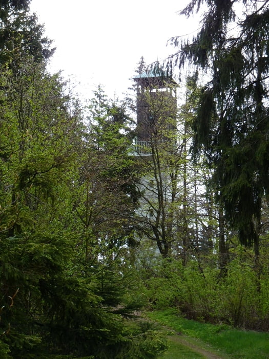
Die Tour startet mit der Auffahrt zum Kreuzberg und führt dann auf dem Höhenzug bis Zeyern entlang des Frankenweges.
Abfahrt nach Zeyern und Auffahrt auf die Radspitze entlang der Mountainbiketour mtb5.
Abfahrt nach Seibelsdorf und über Fischbach zurück nach Kronach.
Galerie du tour
Carte du tour et altitude
Minimum height 316 m
Maximum height 687 m
Commentaires
Anfahrt aus Richtung Bamberg über die A73 und B173.
Anfahrt aus Richtung Hof: A9 Abfahrt Naila/Selbitz und über die B173 nach Kronach.
Tracks GPS
Trackpoints-
GPX / Garmin Map Source (gpx) download
-
TCX / Garmin Training Center® (tcx) download
-
CRS / Garmin Training Center® (crs) download
-
Google Earth (kml) download
-
G7ToWin (g7t) download
-
TTQV (trk) download
-
Overlay (ovl) download
-
Fugawi (txt) download
-
Kompass (DAV) Track (tk) download
-
Feuille de tours (pdf) download
-
Original file of the author (gpx) download
Add to my favorites
Remove from my favorites
Edit tags
Open track
My score
Rate


Tourenerweiterung
gruss,
LB