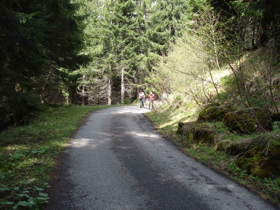
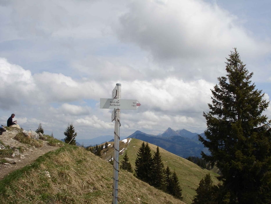
Vom Parkplatz zur Hirschalpe auf alter Fahrstraße zur Hirschalpe, dann auf Wanderweg zum Spieser.Dann Abstieg zur Hirschalpe über Grat, weiter über Fahrstraße zum Parkplatz.
Kann auch als Biketour bis Hirschalpe gut befahren werden!
Galerie du tour
Carte du tour et altitude
Minimum height 99999 m
Maximum height -99999 m
Commentaires

A7 Richtung Füssen, Ausfahrt Pfronten, weiter Richtung Oberjoch, dann Passstraße hinab, vorbei an der "Kanzel", dann in Kurve den Parkplatz anfahren.
Tracks GPS
Trackpoints-
GPX / Garmin Map Source (gpx) download
-
TCX / Garmin Training Center® (tcx) download
-
CRS / Garmin Training Center® (crs) download
-
Google Earth (kml) download
-
G7ToWin (g7t) download
-
TTQV (trk) download
-
Overlay (ovl) download
-
Fugawi (txt) download
-
Kompass (DAV) Track (tk) download
-
Feuille de tours (pdf) download
-
Original file of the author (gpx) download
Add to my favorites
Remove from my favorites
Edit tags
Open track
My score
Rate


