Login

Login oublié ?

Cookies have to be accepted!
Your browser's cookie functionality is disabled. Please enable this functionality.

Not a member yet?

Register now
Login

Available for registred users only

Log in to use this feature.

Login oublié ?

Cookies have to be accepted!
Your browser's cookie functionality is disabled. Please enable this functionality.

Not a member yet?

Register now
Filter
Catégories
Advanced filters
  • Longueur (km)
  • Altimètre
Enregistrer le filtre Reset filter

TrackRank

QRCode

Technical data

Longueur173,0 km Altimètre4966 m Way down3891 m Durée00:00 h:m Date17.10.2006
Evaluations Author Paysage Aspect amusement Condition Technique

Statistiques

5242 Vues 1 Evaluation 458 Téléchargements 5.00 Moyenne
Rate
  • Feuille de tours
  • Arrivée
  • Téléchargements
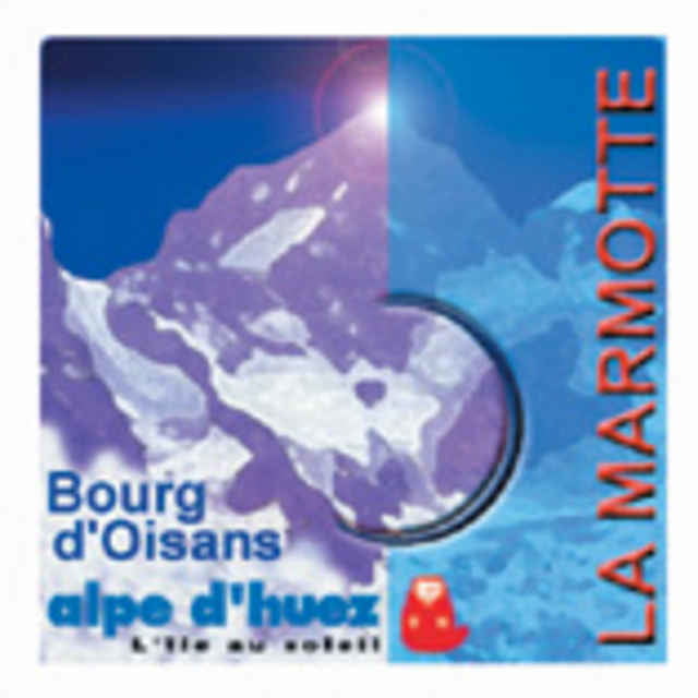
La Marmotte: begin Juli fahren etwa 5000 Radfahrer dieser Tour mit Croix de Fer, Télégraphe, Galibier und Alpe d'Huez.

Further information at

http://www.sportcommunication.com

Carte du tour et altitude

  • Open Street Map
  • Google
Minimum height 479 m Maximum height 2645 m Vue de détail

More about the tour author

Fab4ever
Member since 2006

Send private message

Commentaires

Scottie on 06.01.2007

Racing Bike

Super tour! To do at least once in a liftime

Tracks GPS

Trackpoints
  • GPX / Garmin Map Source (gpx) download
  • TCX / Garmin Training Center® (tcx) download
  • CRS / Garmin Training Center® (crs) download
  • Google Earth (kml) download
  • G7ToWin (g7t) download
  • TTQV (trk) download
  • Overlay (ovl) download
  • Fugawi (txt) download
  • Kompass (DAV) Track (tk) download
  • Feuille de tours (pdf) download
  • Original file of the author (gpx) download

More about the tour author

Fab4ever
Member since 2006

Send private message
Share track
Add to my favorites
Remove from my favorites
Edit tags
My score
Rate
Tour: La Marmotte
Cat.: Vélo de course
Longueur: 173,0 km
Evaluated on:
Durée:
Day(s)
Hour(s)
Minute(s)
Evaluation: Paysage Aspect amusement Condition Technique