Login

Login oublié ?

Cookies have to be accepted!
Your browser's cookie functionality is disabled. Please enable this functionality.

Not a member yet?

Register now
Login

Available for registred users only

Log in to use this feature.

Login oublié ?

Cookies have to be accepted!
Your browser's cookie functionality is disabled. Please enable this functionality.

Not a member yet?

Register now
Filter
Catégories
Advanced filters
  • Longueur (km)
  • Altimètre
Enregistrer le filtre Reset filter

TrackRank

QRCode

Technical data

Longueur55,4 km Altimètre1214 m Way down1150 m Durée07:00 h:m Date25.05.2010
Evaluations Author User Paysage Aspect amusement Condition Technique

Statistiques

2197 Vues 2 Evaluations 194 Téléchargements 2.50 Moyenne
Rate
  • Feuille de tours
  • Arrivée
  • Téléchargements

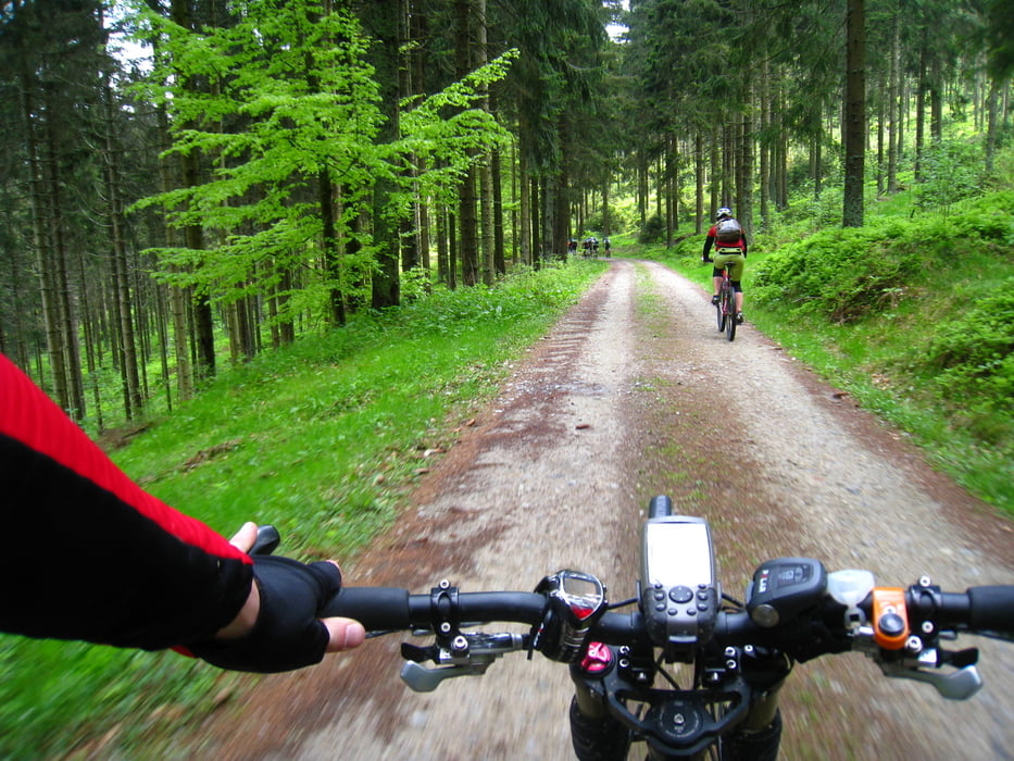
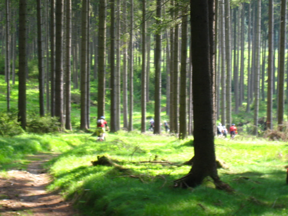
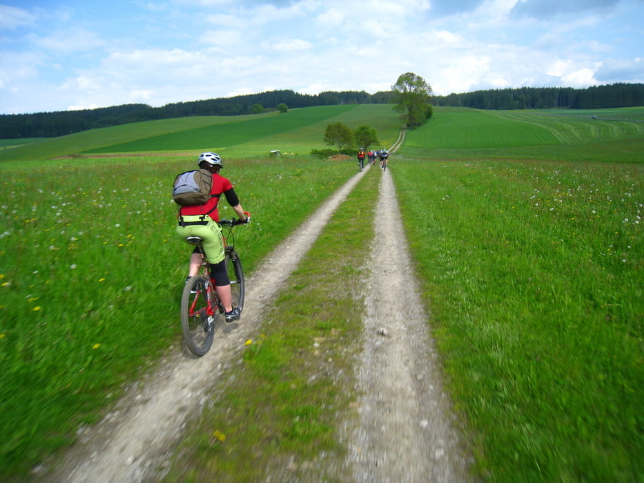
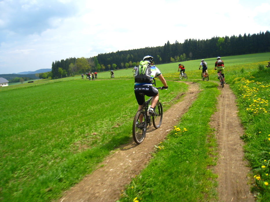
 Nette Runde um und auf den Sternstein. Wenig Straßen, viel auf Wegen und Trails.


Galerie du tour

Carte du tour et altitude

  • Open Street Map
  • Google
Minimum height 559 m Maximum height 1123 m Vue de détail

More about the tour author

bdorne
Member since 2008

Send private message

Commentaires

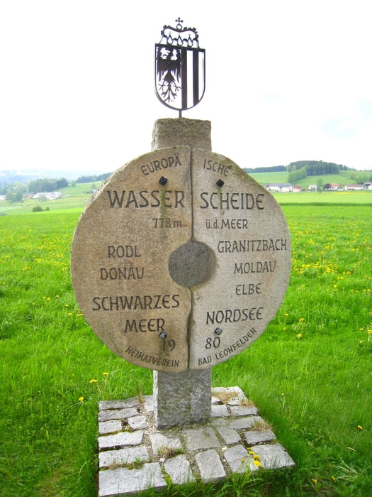
 Von Linz aus durch den Haselgraben nach Norden bis nach Zwettl an der Rodl.

Tracks GPS

Trackpoints
  • GPX / Garmin Map Source (gpx) download
  • TCX / Garmin Training Center® (tcx) download
  • CRS / Garmin Training Center® (crs) download
  • Google Earth (kml) download
  • G7ToWin (g7t) download
  • TTQV (trk) download
  • Overlay (ovl) download
  • Fugawi (txt) download
  • Kompass (DAV) Track (tk) download
  • Feuille de tours (pdf) download
  • Original file of the author (gpx) download

More about the tour author

bdorne
Member since 2008

Send private message
Share track
Add to my favorites
Remove from my favorites
Edit tags
My score
Rate
Tour: Sternstein-Runde
Cat.: Mountainbike
Longueur: 55,4 km
Evaluated on:
Durée:
Day(s)
Hour(s)
Minute(s)
Evaluation: Paysage Aspect amusement Condition Technique