

Von Weiler (Gemeinde Berg, oberhalb Weingarten) über Staig, über das Tobel "den stillen Steg" zum Kloster Kellenried, über Wald- und Wiesenwege durch die Tobel bei Schmaleck, wieder Auftstieg nach Schmaleck (dort nicht einen Kaffee bei der Bioland-Bäckerei Müller versäumen!), weiter über Wiesenwege nach Berg und zurück nach Weiler.
Bis auf das Schmalecker Tobel auch gut mit dem Trecking-Rad geeignet.
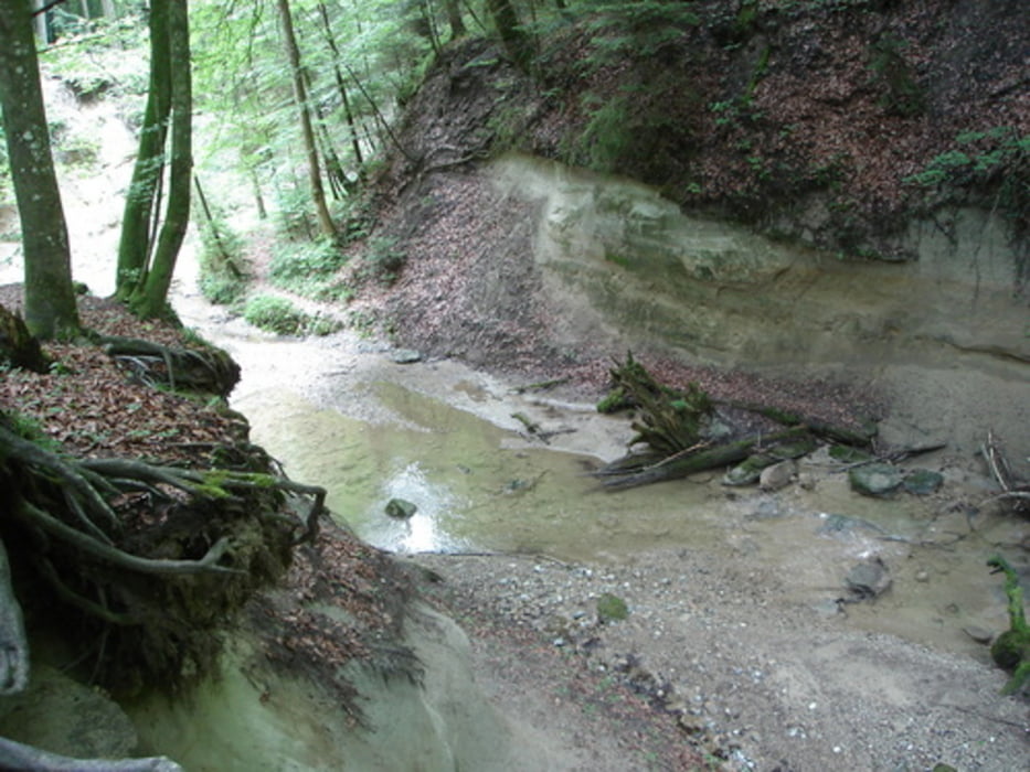
Ist wegen der glitschigen Stufen auch mit dem MTB nur für technisch versierte fahrbar.
Galerie du tour


Carte du tour et altitude
Minimum height 447 m
Maximum height 601 m
More about the tour author
|
|
wernermohr |
Commentaires

Tracks GPS
Trackpoints-
GPX / Garmin Map Source (gpx) download
-
TCX / Garmin Training Center® (tcx) download
-
CRS / Garmin Training Center® (crs) download
-
Google Earth (kml) download
-
G7ToWin (g7t) download
-
TTQV (trk) download
-
Overlay (ovl) download
-
Fugawi (txt) download
-
Kompass (DAV) Track (tk) download
-
Feuille de tours (pdf) download
-
Original file of the author (gpx) download
More about the tour author
|
|
wernermohr |
Add to my favorites
Remove from my favorites
Edit tags
Open track
My score
Rate