


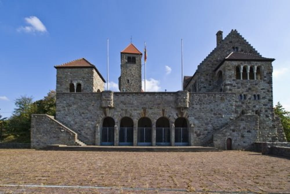
Dossenheim> Weisser Stein > Wilhelmsfeld (dort im Naturfreundehaus schon mal Kaffee+Kuchen)> zum Eichelberg > dann über wunderschöne Wald- und Wiesenwege über die Odenwaldkämme nach Weinheim (zuletzt über die Wachenburg und Windeck)> dort auf dem Marktplatz Einkehr bei Weinhaus Puppel mit tollem Wein und passendem Essen.
Dann mit der OEG (nimmt Räder mit) oder durch die Weinberge zurück nach Dossenheim.
Tour ist zwar "nur" 47km und ca 1000hm, aber diese aufgeweichten Wiesenwege haben es in sich...
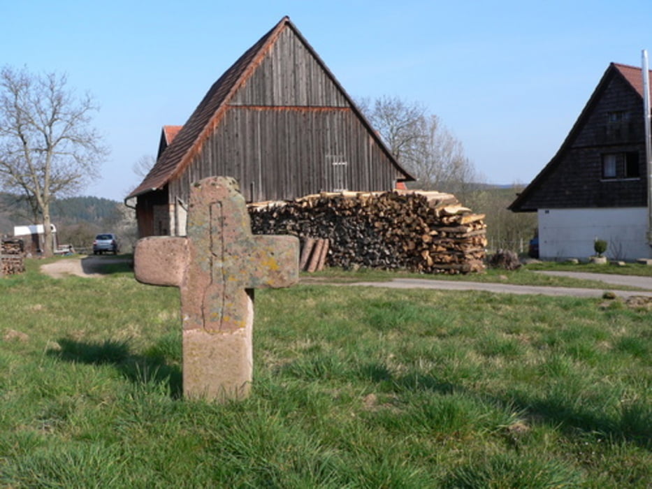
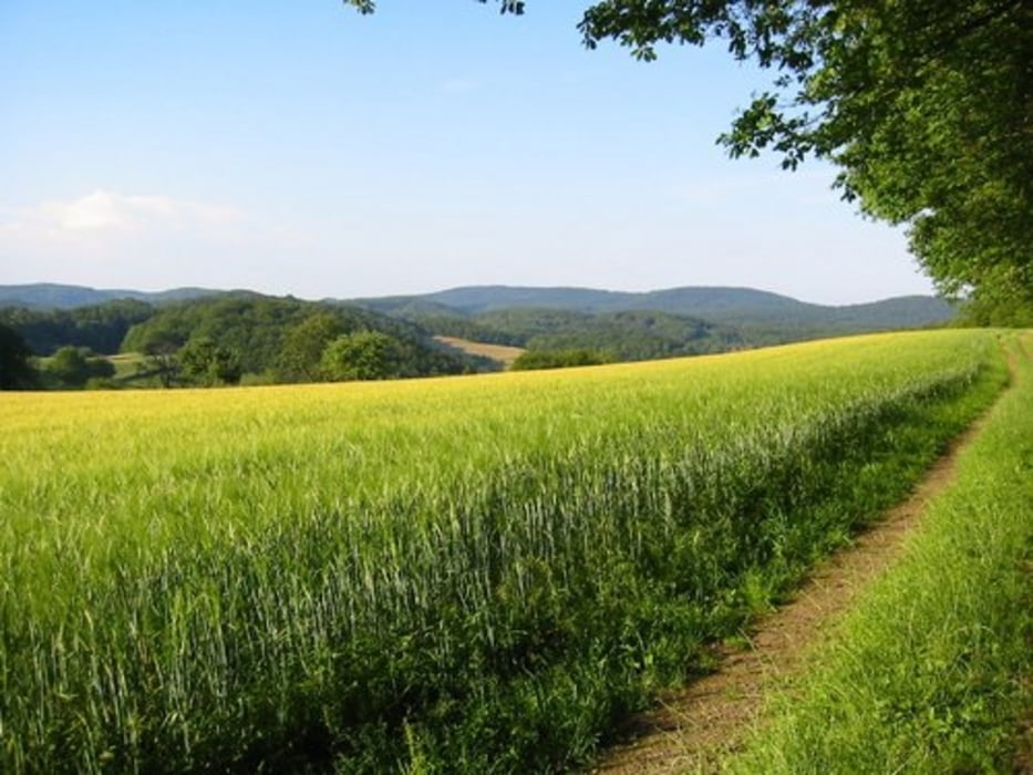
Galerie du tour

Carte du tour et altitude
Minimum height 118 m
Maximum height 524 m
More about the tour author
|
|
wernermohr |
Commentaires

Tracks GPS
Trackpoints-
GPX / Garmin Map Source (gpx) download
-
TCX / Garmin Training Center® (tcx) download
-
CRS / Garmin Training Center® (crs) download
-
Google Earth (kml) download
-
G7ToWin (g7t) download
-
TTQV (trk) download
-
Overlay (ovl) download
-
Fugawi (txt) download
-
Kompass (DAV) Track (tk) download
-
Feuille de tours (pdf) download
-
Original file of the author (gpx) download
More about the tour author
|
|
wernermohr |
Add to my favorites
Remove from my favorites
Edit tags
Open track
My score
Rate