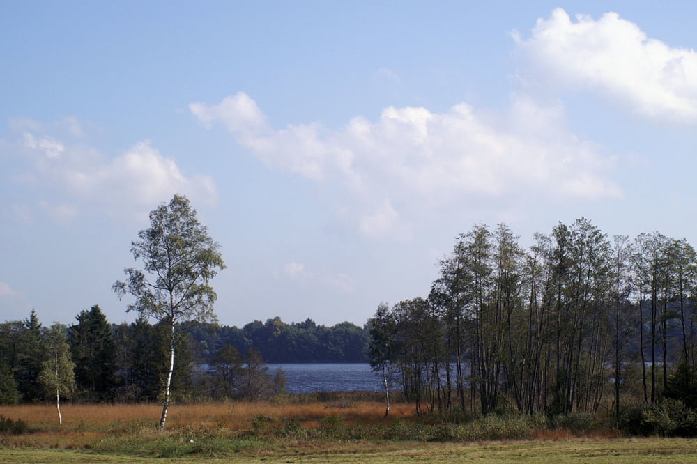
Schöne Rundtour von Amtzell durchs württembergische Allgäu. Auf die Länge von 400m Waldweg. Ansonsten immer sehr einsame Strassen.
Galerie du tour
Carte du tour et altitude
Minimum height 528 m
Maximum height 684 m
Commentaires
88279 Amtzell
Tracks GPS
Trackpoints-
GPX / Garmin Map Source (gpx) download
-
TCX / Garmin Training Center® (tcx) download
-
CRS / Garmin Training Center® (crs) download
-
Google Earth (kml) download
-
G7ToWin (g7t) download
-
TTQV (trk) download
-
Overlay (ovl) download
-
Fugawi (txt) download
-
Kompass (DAV) Track (tk) download
-
Feuille de tours (pdf) download
-
Original file of the author (gpx) download
Add to my favorites
Remove from my favorites
Edit tags
Open track
My score
Rate


Rundtour Amtzell
Rundtour Amtzell
Es war geradezu genial. Die Tour ist wirklich sehr gut ausgesucht. Vor allem ist sehr schön, dass man immer den Eindruck hat in der Höhe zu fahren. Dadurch tolle Weitblicke in die Alpen.
Für Auswärtige ein absolutes Muss.
Rundtour Amtzell