Login

Login oublié ?

Cookies have to be accepted!
Your browser's cookie functionality is disabled. Please enable this functionality.

Not a member yet?

Register now
Login

Available for registred users only

Log in to use this feature.

Login oublié ?

Cookies have to be accepted!
Your browser's cookie functionality is disabled. Please enable this functionality.

Not a member yet?

Register now
Filter
Catégories
Advanced filters
  • Longueur (km)
  • Altimètre
Enregistrer le filtre Reset filter

TrackRank

QRCode

Technical data

Longueur3,2 km Altimètre578 m Way down0 m Durée01:45 h:m Date30.05.2010
Evaluations Author Paysage Aspect amusement Condition Technique

Statistiques

1696 Vues Evaluations 60 Téléchargements Moyenne
Rate
  • Feuille de tours
  • Arrivée
  • Téléchargements

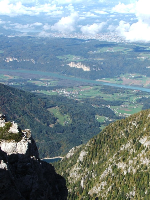
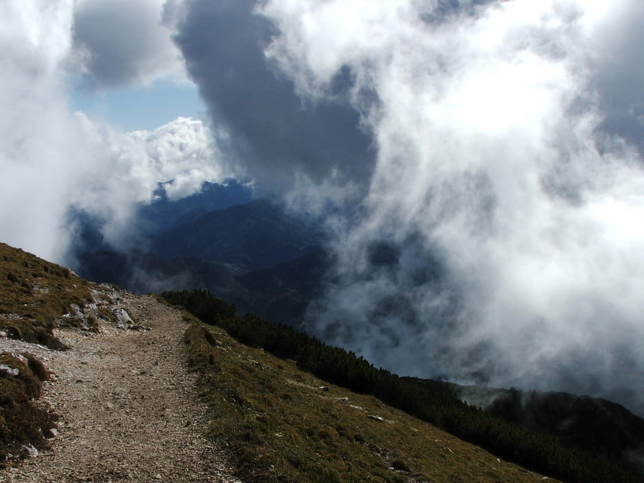
Von der Eisenkappler Hütte auf den Hochobir, von dort Rundumaussicht auf die Karawanken, ins Drau- /Rosental und auf Klagenfurt.
Rückweg wie Hinweg, also insgesamt knapp 7 km Weglänge.


Galerie du tour

Carte du tour et altitude

  • Open Street Map
  • Google
Minimum height 1562 m Maximum height 2141 m Vue de détail

More about the tour author

lothardomnik
Member since 2009

Send private message

Commentaires

Von Eisenkappel Richtung Ferlach, nach wenigen Kilometern biegt rechts die Mautstraße zur Eisenkappler Hütte ab; oder von Ferlach Richtung Eisenkappel über den Schaidasattel, dann links über die Mautstraße zur Hütte.

Tracks GPS

Trackpoints
  • GPX / Garmin Map Source (gpx) download
  • TCX / Garmin Training Center® (tcx) download
  • CRS / Garmin Training Center® (crs) download
  • Google Earth (kml) download
  • G7ToWin (g7t) download
  • TTQV (trk) download
  • Overlay (ovl) download
  • Fugawi (txt) download
  • Kompass (DAV) Track (tk) download
  • Feuille de tours (pdf) download
  • Original file of the author (gpx) download

More about the tour author

lothardomnik
Member since 2009

Send private message
Share track
Add to my favorites
Remove from my favorites
Edit tags
My score
Rate
Tour: Kärnten: Hochobir
Cat.: Tour en montagne
Longueur: 3,2 km
Evaluated on:
Durée:
Day(s)
Hour(s)
Minute(s)
Evaluation: Paysage Aspect amusement Condition Technique