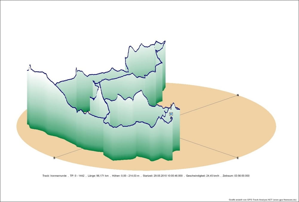
Die eigentliche Ironmanrude beträgt etwas 64 km und wird zwei mal durchfahren.
Start ist der Langener Waldsee, Ziel ist der Mainkai.
Hinzu kommt meine Anfahrt und meinHeimweg.
Further information at
http://www.ironman.de/Galerie du tour
Carte du tour et altitude
Minimum height 111 m
Maximum height 214 m
Commentaires

Tracks GPS
Trackpoints-
GPX / Garmin Map Source (gpx) download
-
TCX / Garmin Training Center® (tcx) download
-
CRS / Garmin Training Center® (crs) download
-
Google Earth (kml) download
-
G7ToWin (g7t) download
-
TTQV (trk) download
-
Overlay (ovl) download
-
Fugawi (txt) download
-
Kompass (DAV) Track (tk) download
-
Feuille de tours (pdf) download
-
Original file of the author (gpx) download
Add to my favorites
Remove from my favorites
Edit tags
Open track
My score
Rate


