Login

Login oublié ?

Cookies have to be accepted!
Your browser's cookie functionality is disabled. Please enable this functionality.

Not a member yet?

Register now
Login

Available for registred users only

Log in to use this feature.

Login oublié ?

Cookies have to be accepted!
Your browser's cookie functionality is disabled. Please enable this functionality.

Not a member yet?

Register now
Filter
Catégories
Advanced filters
  • Longueur (km)
  • Altimètre
Enregistrer le filtre Reset filter

TrackRank

QRCode

Technical data

Longueur18,1 km Altimètre705 m Way down683 m Durée03:00 h:m Date31.05.2010
Evaluations Author Paysage Aspect amusement Condition Technique

Statistiques

157 Vues Evaluations 6 Téléchargements Moyenne
Rate
  • Feuille de tours
  • Arrivée
  • Téléchargements

Die Tour geht über 2 Berge,

"Goi" 

"Miyagi"

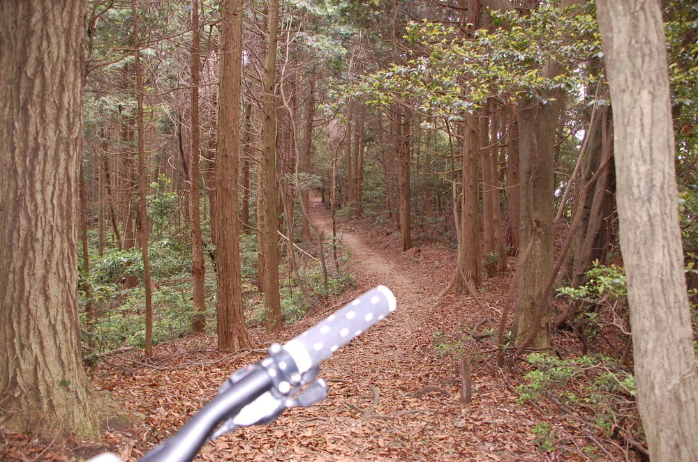
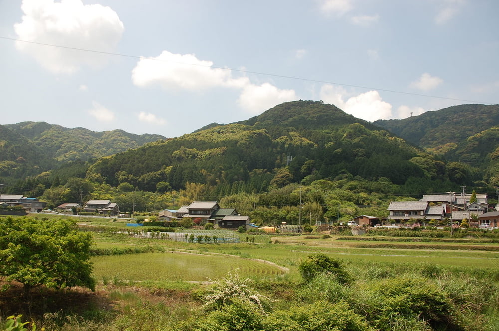
Zunächst auf Teerstraße hinauf, da über einen super Trail vom Goi bis zum Miyagi und ins Tal.

Letzte  fährt durch eine Bambus Tunnel dann kommt  einen Tempel aus,


Galerie du tour

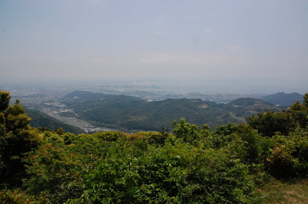
Carte du tour et altitude

  • Open Street Map
  • Google
Minimum height 35 m Maximum height 461 m Vue de détail

More about the tour author

TaiChi
Member since 2009

Send private message

Commentaires

Tracks GPS

Trackpoints
  • GPX / Garmin Map Source (gpx) download
  • TCX / Garmin Training Center® (tcx) download
  • CRS / Garmin Training Center® (crs) download
  • Google Earth (kml) download
  • G7ToWin (g7t) download
  • TTQV (trk) download
  • Overlay (ovl) download
  • Fugawi (txt) download
  • Kompass (DAV) Track (tk) download
  • Feuille de tours (pdf) download
  • Original file of the author (gpx) download

More about the tour author

TaiChi
Member since 2009

Send private message
Share track
Add to my favorites
Remove from my favorites
Edit tags
My score
Rate
Tour: Gama evo2
Cat.: Mountainbike
Longueur: 18,1 km
Evaluated on:
Durée:
Day(s)
Hour(s)
Minute(s)
Evaluation: Paysage Aspect amusement Condition Technique