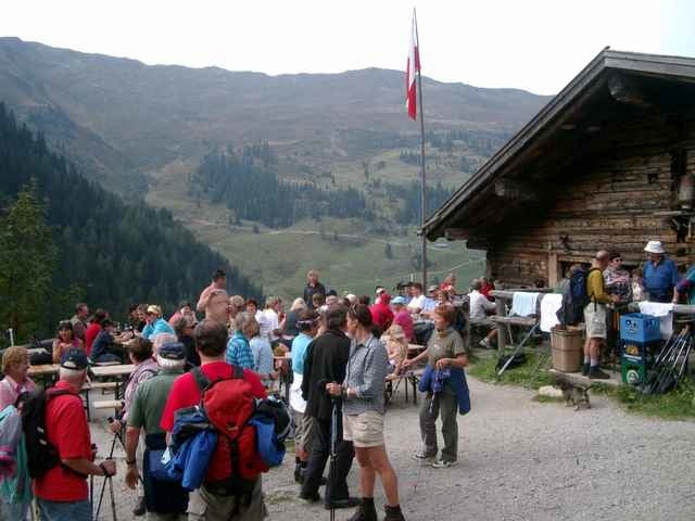
vom Parkplatz Inneralpbach neben dem Lift geht die Forststraße stetig bergauf vorbei an der Niederalm und dann in Serpentinen zur Farmkehralm 1521m mit Blick zum Wiedesberger Horn. Der Rückweg führt hoch im Tal an der Stettauer Alm und der Waldkapelle von Inneralpbach vorbei zurück zum Parkplatz.
Galerie du tour
Carte du tour et altitude
Minimum height 587 m
Maximum height 1509 m
Commentaires

Die Autobahn München-Innsbruck bei der Ausfahrt Kramsach verlassen weiter über Brixlegg nach Inneralpbach
Tracks GPS
Trackpoints-
GPX / Garmin Map Source (gpx) download
-
TCX / Garmin Training Center® (tcx) download
-
CRS / Garmin Training Center® (crs) download
-
Google Earth (kml) download
-
G7ToWin (g7t) download
-
TTQV (trk) download
-
Overlay (ovl) download
-
Fugawi (txt) download
-
Kompass (DAV) Track (tk) download
-
Feuille de tours (pdf) download
-
Original file of the author (g7t) download
Add to my favorites
Remove from my favorites
Edit tags
Open track
My score
Rate


