Login

Login oublié ?

Cookies have to be accepted!
Your browser's cookie functionality is disabled. Please enable this functionality.

Not a member yet?

Register now
Login

Available for registred users only

Log in to use this feature.

Login oublié ?

Cookies have to be accepted!
Your browser's cookie functionality is disabled. Please enable this functionality.

Not a member yet?

Register now
Filter
Catégories
Advanced filters
  • Longueur (km)
  • Altimètre
Enregistrer le filtre Reset filter

TrackRank

QRCode

Technical data

Longueur19,5 km Altimètre525 m Way down503 m Durée01:30 h:m Date04.06.2010
Evaluations Author Paysage Aspect amusement Condition Technique

Statistiques

292 Vues Evaluations 55 Téléchargements Moyenne
Rate
  • Feuille de tours
  • Arrivée
  • Téléchargements

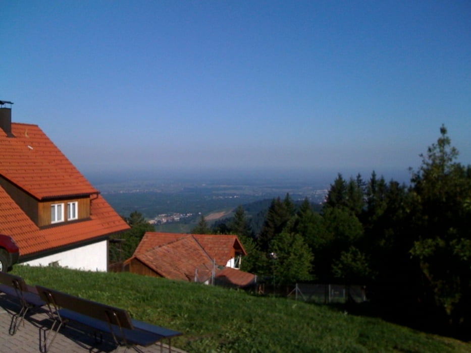
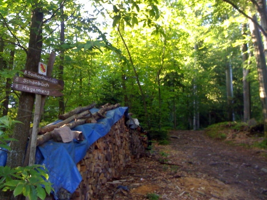
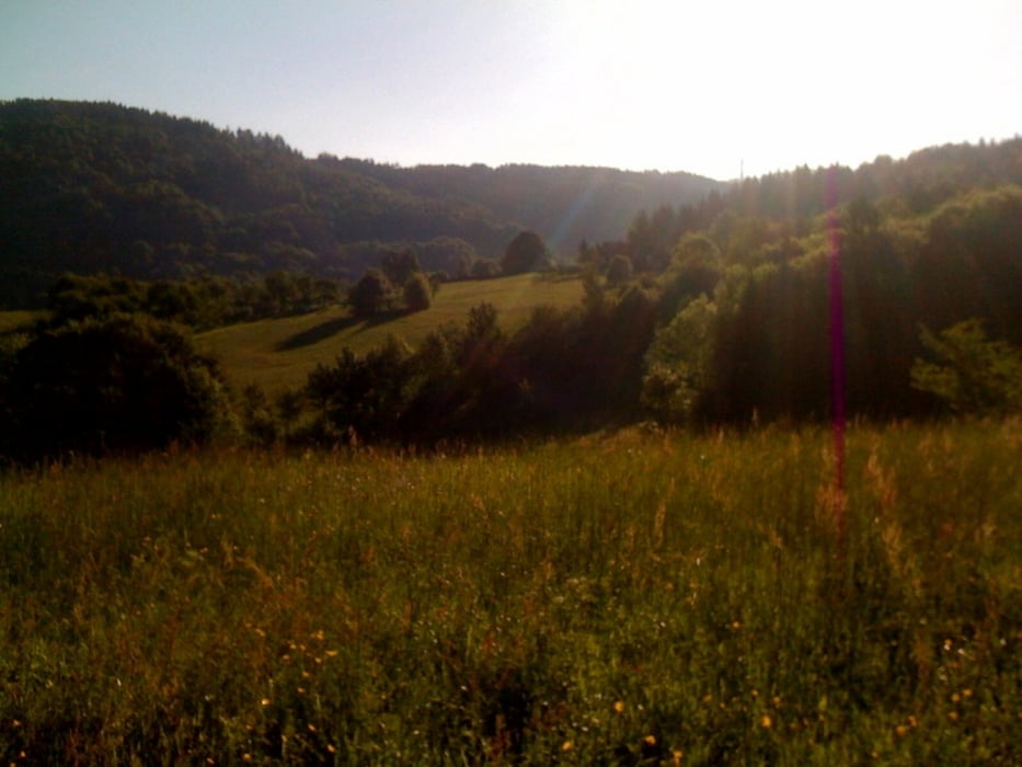
In Oberachern gings ab in den Wald  um dann über den Bienenbuckel in Richtung Sasbachwalden aufzubrechen. Über den Knetschwasen dann "Auf`s Eck" durch schöne Wälder, Reeben und Wiesen. Ziel war heute der Sattel zwischen Schönbüch (Sasbachwalden) und Grimmerswald (Seebach). Von dort der Straße entlang Richtung Sasbachwalden. Die Stärkung am Schnapsbrunnen hab ich mir natürlich entgehen lassen. Das nächste Mal wird zugelangt :-) ...

Galerie du tour

Carte du tour et altitude

  • Open Street Map
  • Google
Minimum height 160 m Maximum height 619 m Vue de détail

More about the tour author

pako2103
Member since 2010

Send private message

Commentaires

Tracks GPS

Trackpoints
  • GPX / Garmin Map Source (gpx) download
  • TCX / Garmin Training Center® (tcx) download
  • CRS / Garmin Training Center® (crs) download
  • Google Earth (kml) download
  • G7ToWin (g7t) download
  • TTQV (trk) download
  • Overlay (ovl) download
  • Fugawi (txt) download
  • Kompass (DAV) Track (tk) download
  • Feuille de tours (pdf) download
  • Original file of the author (gpx) download

More about the tour author

pako2103
Member since 2010

Send private message
Share track
Add to my favorites
Remove from my favorites
Edit tags
My score
Rate
Tour: Schönbüchtour
Cat.: Mountainbike
Longueur: 19,5 km
Evaluated on:
Durée:
Day(s)
Hour(s)
Minute(s)
Evaluation: Paysage Aspect amusement Condition Technique