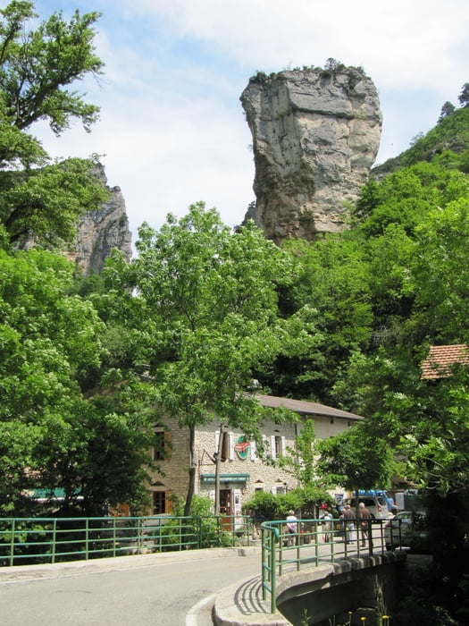
Von Mirabel-et-Blacons (Start am Campingplatz Gervanne) übers Gervannetal hinauf nach Plan-de-Baix hinab in den schönen Gorges d'Omblèze mit einem schönen Wasserfall (Cascade de la Pissoire).
Mein Start war am Campingplatz Gervanne. Das Tal nach Beaufort sur Gervanne ist weit und außer dem Gegenwind war bis Beaufort sur Garvanne nicht viel los, aber zum Einradeln ganz okay. Richtig los geht es erst kurz nach Beaufort mit einigen Serpentinen und mit schönen Ausblicken, leider war der Gegenwind mein treuer Begleiter.
Nach Plan-de-Baix geht es dann rechts nach langen rechts Kurve hinab in den Gorges d'Omblèze.
Die Moulin-la-Pipe hat ein schönen Garten in dem man, wenn es richtig warm ist, sicher schön verweilen und etwas essen kann.
Mein Wendepunkt war dann ein wenig nach der Cascade de la Pissoire im Gorges d'Omblèze. Die gleiche Strecke wieder retour diesmal allerdings mit dem Wind im Rücken.
Diese Tour kann man natürlich auch mit dem Rennrad oder Mountainbike machen.
Further information at
http://www.gervanne-camping.comGalerie du tour
Carte du tour et altitude
Commentaires

Start in Mirabel-et-Blacons am Campingplatz Gervanne.
Man kann auch in Bellevue kurz vor Blacons starten an der Abzweigung nach Beaufort sur Gervanne.
Als Alternative kann man auch in Beaufort sur Gervanne starten, denn dann spart man sich evtl. den Kampf gegen den Wind sowie die gerade und nicht so abwechselungsreiche Strecke.
Tracks GPS
Trackpoints-
GPX / Garmin Map Source (gpx) download
-
TCX / Garmin Training Center® (tcx) download
-
CRS / Garmin Training Center® (crs) download
-
Google Earth (kml) download
-
G7ToWin (g7t) download
-
TTQV (trk) download
-
Overlay (ovl) download
-
Fugawi (txt) download
-
Kompass (DAV) Track (tk) download
-
Feuille de tours (pdf) download
-
Original file of the author (gpx) download


