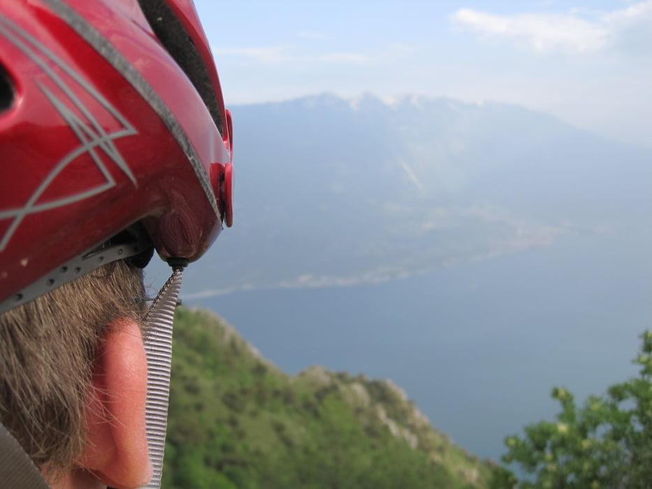
Galerie du tour
Carte du tour et altitude
Minimum height 66 m
Maximum height 1832 m
Commentaires

Von Riva mit dem Schiff nach Limone und dann sehr steil den Berg in Limone hoch, dann immer der Tour folgen. Angekommen am Tremalzo ein Weizen und was zu Essen, dann ab durchs Tunnel hinab Richtung Gardasee immer dem Navi nach.....
Scheee wars.... und viel Spass!
Tracks GPS
Trackpoints-
GPX / Garmin Map Source (gpx) download
-
TCX / Garmin Training Center® (tcx) download
-
CRS / Garmin Training Center® (crs) download
-
Google Earth (kml) download
-
G7ToWin (g7t) download
-
TTQV (trk) download
-
Overlay (ovl) download
-
Fugawi (txt) download
-
Kompass (DAV) Track (tk) download
-
Feuille de tours (pdf) download
-
Original file of the author (gpx) download
Add to my favorites
Remove from my favorites
Edit tags
Open track
My score
Rate


