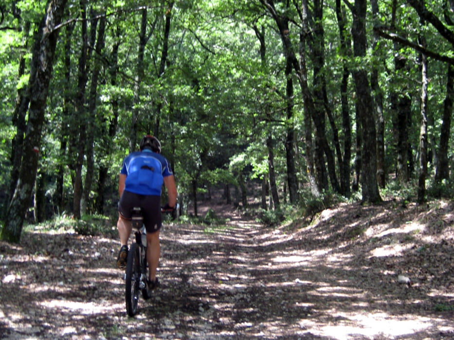
Viele Wege führen auf die Foresta Umbra. Dieser hier verläuft fast ausschließlich auf gut zu fahrenden Schotter. Nur anfangs und zwischendurch muss man kurz auf der Straße fahren. Abfahren kann man entweder auf der Teerstraße oder man sucht sich eine andere Abfahrt aus unseren Foresta-Touren [...]
Eine detaillierte Beschreibung und andere Gargano Touren sind auf Daniel's Bikeblog zu finden.
Further information at
http://bikeblog.danielleicher.de/Carte du tour et altitude
Minimum height 7 m
Maximum height 849 m
Commentaires

Tracks GPS
Trackpoints-
GPX / Garmin Map Source (gpx) download
-
TCX / Garmin Training Center® (tcx) download
-
CRS / Garmin Training Center® (crs) download
-
Google Earth (kml) download
-
G7ToWin (g7t) download
-
TTQV (trk) download
-
Overlay (ovl) download
-
Fugawi (txt) download
-
Kompass (DAV) Track (tk) download
-
Feuille de tours (pdf) download
-
Original file of the author (gpx) download
Add to my favorites
Remove from my favorites
Edit tags
Open track
My score
Rate

