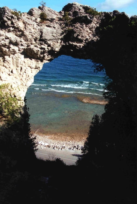
Radtour um Mackinac Islan. Erst enltang der Ostküste, mit Besuch des Arch Rocks, dann weiter zum Fort Mackinac.
Als nächste Höhepunkte warten Sugar Loaf Rock, Each Bluff und Devils Kitchen
Galerie du tour
Carte du tour et altitude
Minimum height 174 m
Maximum height 271 m
Commentaires

Tracks GPS
Trackpoints-
GPX / Garmin Map Source (gpx) download
-
TCX / Garmin Training Center® (tcx) download
-
CRS / Garmin Training Center® (crs) download
-
Google Earth (kml) download
-
G7ToWin (g7t) download
-
TTQV (trk) download
-
Overlay (ovl) download
-
Fugawi (txt) download
-
Kompass (DAV) Track (tk) download
-
Feuille de tours (pdf) download
-
Original file of the author (gpx) download
Add to my favorites
Remove from my favorites
Edit tags
Open track
My score
Rate


