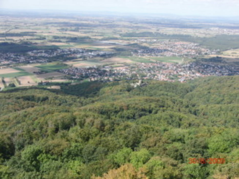
Von Gernsheim zum Melibokus, fast nur unbefestigte Wege nach oben, nach unten einen schönen schnellen Trail der sich lange durch den Wald zieht!
Carte du tour et altitude
Minimum height 81 m
Maximum height 521 m
Commentaires

Start start ist in Gernsheim nähe der Feuerwehr
Tracks GPS
Trackpoints-
GPX / Garmin Map Source (gpx) download
-
TCX / Garmin Training Center® (tcx) download
-
CRS / Garmin Training Center® (crs) download
-
Google Earth (kml) download
-
G7ToWin (g7t) download
-
TTQV (trk) download
-
Overlay (ovl) download
-
Fugawi (txt) download
-
Kompass (DAV) Track (tk) download
-
Feuille de tours (pdf) download
-
Original file of the author (gpx) download
Add to my favorites
Remove from my favorites
Edit tags
Open track
My score
Rate

