


Landschaftlich super schöne Tour
Sehr empfehlenswert und nicht anstrengend auch für Kinder. Beeindruckend sind die Tiefblicke auf die Adria und die Ausblicke auf das Velebit Gebirge sowie die Inseln der Kvarner Bucht. Beste Jahreszeit für diese Tour scheinen der Frühling und der Herbst zu sein.
Ausgangspunkt der Tour liegt zwischen Simuni und Kolan auf der Insel Pag.
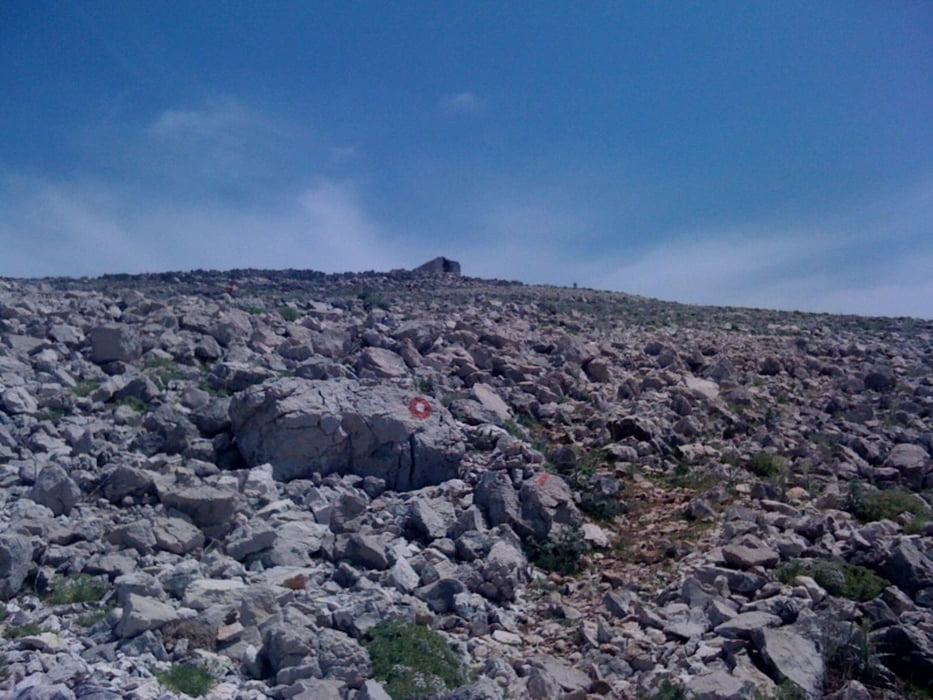
In einer Spitzkehre außen (am Stein markiert) führt der Weg gut markiert Rot folgend hinauf.
Parken am bestem neben der Hauptstrasse.
Auf dem Gipfel befindet sich die kleine Kirche Hl. Vitus, eine triangularische Bezeichnung und eine Büchse mit einem Einschreibebuch und einem Stempel daneben. Auf dem Gipfel ist die Burg Gradac mit ihren Spuren der alten Illyrier zu finden.
Further information at
http://www.tzkolan-mandre.com/de/kroatien/insel-pag/aktiverholung-bergsteigen-–-hl-vitus-insel-pag-s9-o2.htmGalerie du tour
Carte du tour et altitude
Minimum height 183 m
Maximum height 387 m
More about the tour author

|
Oagei |
Commentaires

Anreise / Zufahrt
Aus dem N von Zagreb und aus dem S von Split auf der A1 bis zur Ausfahrt 16 und von dort nach NW auf die Insel Pag.
Tracks GPS
Trackpoints-
GPX / Garmin Map Source (gpx) download
-
TCX / Garmin Training Center® (tcx) download
-
CRS / Garmin Training Center® (crs) download
-
Google Earth (kml) download
-
G7ToWin (g7t) download
-
TTQV (trk) download
-
Overlay (ovl) download
-
Fugawi (txt) download
-
Kompass (DAV) Track (tk) download
-
Feuille de tours (pdf) download
-
Original file of the author (gpx) download
More about the tour author
|
|
Oagei |
Add to my favorites
Remove from my favorites
Edit tags
Open track
My score
Rate