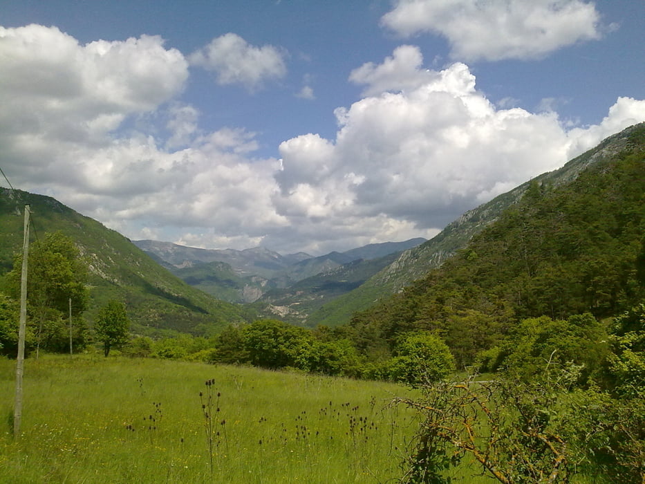
Schöne Biketour, welche mit meiner Tour 1 kombiniert werden könnte.
Achtung ! Es ist ein heftiger Trailanstieg in dieser Tour, welcher geschoben werden muss.
Auch auf dieser Tour wir man mit herrlichen Aussichten belohnt.
Galerie du tour
Carte du tour et altitude
Minimum height 697 m
Maximum height 1009 m
Commentaires

siehe Daten
Gestartet wird in Castellane.
Tracks GPS
Trackpoints-
GPX / Garmin Map Source (gpx) download
-
TCX / Garmin Training Center® (tcx) download
-
CRS / Garmin Training Center® (crs) download
-
Google Earth (kml) download
-
G7ToWin (g7t) download
-
TTQV (trk) download
-
Overlay (ovl) download
-
Fugawi (txt) download
-
Kompass (DAV) Track (tk) download
-
Feuille de tours (pdf) download
-
Original file of the author (gpx) download
Add to my favorites
Remove from my favorites
Edit tags
Open track
My score
Rate


