


Mangels Rennrad bin ich die Strecke mit dem MTB gefahren.
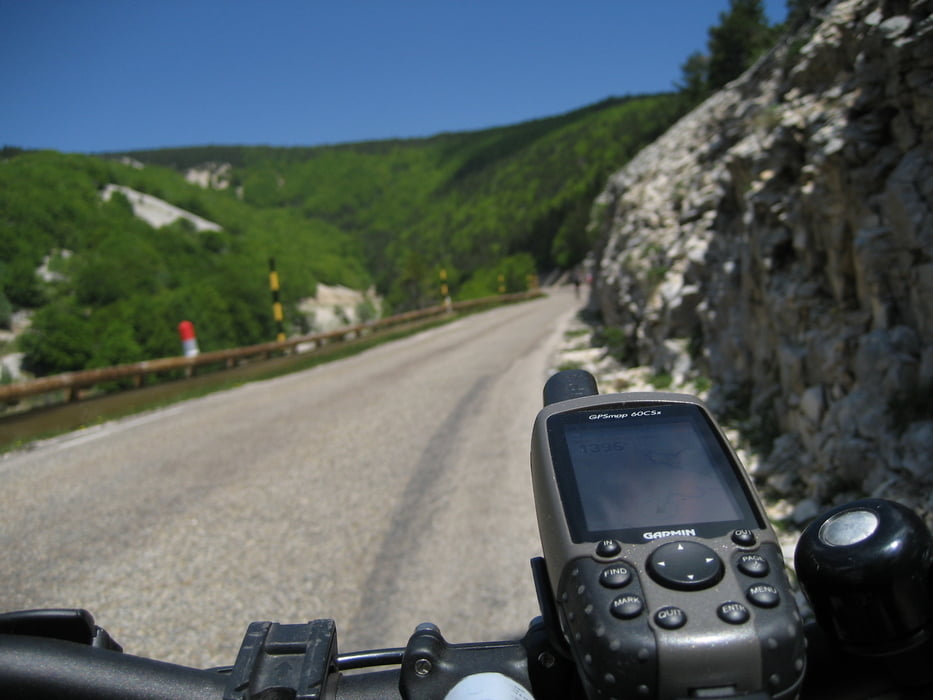
Start ist der Campingplatz in Sault. Von hier aus geht es zunächst bergab zum Ortsausgang. Ab hier in angenehmer Steigung vorbei an Lavendelfeldern bis zum Parkplatz wo die Straße von Bedoin kreuzt (Einkehrmöglichkeit!). Ab hier wird die Straße auf den letzten fünf Kilometern deutlich steiler.
Die Abfahrt nach Malaucene ist nichts für schlechte Bremsen. Es geht ganz ordentlich steil runter .... war froh dass ich auf dieser Seite nicht aufgestiegen bin!
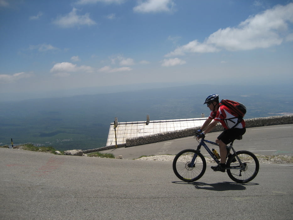
Fazit: Der landschaftlich schönere Aufstieg erfolgt auf jeden Fall über die Südseite von Bedoin oder Sault. Sportlich deutlich anspruchsvoller ist der Aufstieg über Malaucene!!
Viel Spaß!
Jörn Koberne
Galerie du tour

Carte du tour et altitude
Minimum height 385 m
Maximum height 1905 m
More about the tour author
|
|
Kobi |
Commentaires

Camping Sault am nördlichen Ortsrand beim Schwimmbad.
Tracks GPS
Trackpoints-
GPX / Garmin Map Source (gpx) download
-
TCX / Garmin Training Center® (tcx) download
-
CRS / Garmin Training Center® (crs) download
-
Google Earth (kml) download
-
G7ToWin (g7t) download
-
TTQV (trk) download
-
Overlay (ovl) download
-
Fugawi (txt) download
-
Kompass (DAV) Track (tk) download
-
Feuille de tours (pdf) download
-
Original file of the author (gpx) download
More about the tour author
|
|
Kobi |
Add to my favorites
Remove from my favorites
Edit tags
Open track
My score
Rate