Login

Login oublié ?

Cookies have to be accepted!
Your browser's cookie functionality is disabled. Please enable this functionality.

Not a member yet?

Register now
Login

Available for registred users only

Log in to use this feature.

Login oublié ?

Cookies have to be accepted!
Your browser's cookie functionality is disabled. Please enable this functionality.

Not a member yet?

Register now
Filter
Catégories
Advanced filters
  • Longueur (km)
  • Altimètre
Enregistrer le filtre Reset filter

TrackRank

QRCode

Technical data

Longueur31,3 km Altimètre220 m Way down168 m Durée01:20 h:m Date22.06.2010
Evaluations Author Paysage Aspect amusement Condition Technique

Statistiques

504 Vues Evaluations 102 Téléchargements Moyenne
Rate
  • Feuille de tours
  • Arrivée
  • Téléchargements

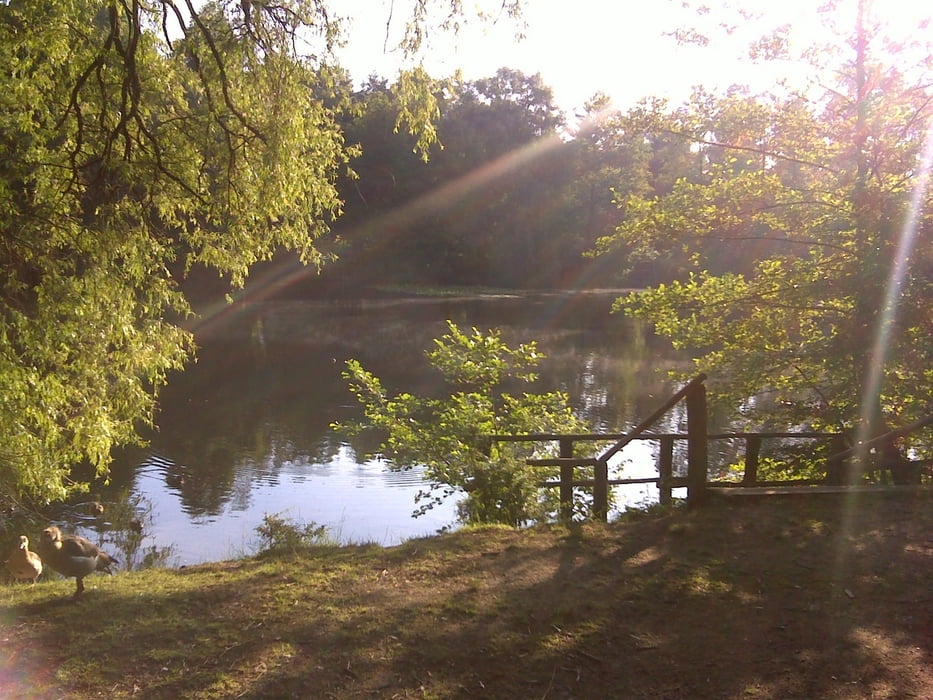
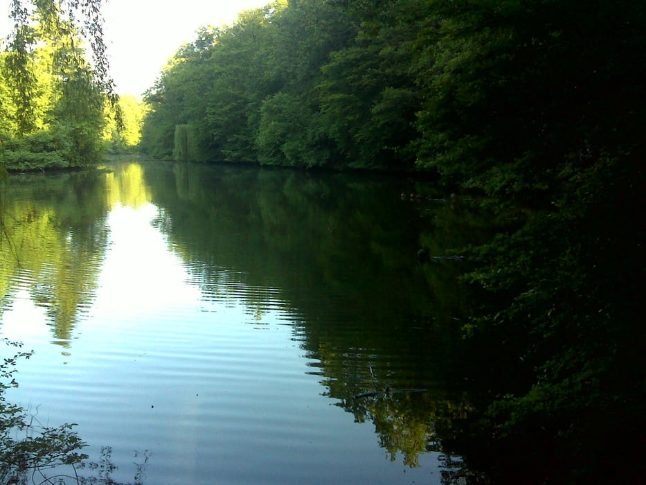
Wer ein paar Minuten Zeit hat und sich nicht durch den Frankfurter Stadtverkehr qüälen will kann hier sein Rad rennen lassen.

Die Landschaft ist aus meiner Sicht in den Wintermonaten schöner, wenn kaum noch Laub auf den Bäumen ist und mehr Licht im Wald ist

Galerie du tour

Carte du tour et altitude

  • Open Street Map
  • Google
Minimum height 17 m Maximum height 164 m Vue de détail

More about the tour author

hans1969
Member since 2010

Send private message

Commentaires

Tracks GPS

Trackpoints
  • GPX / Garmin Map Source (gpx) download
  • TCX / Garmin Training Center® (tcx) download
  • CRS / Garmin Training Center® (crs) download
  • Google Earth (kml) download
  • G7ToWin (g7t) download
  • TTQV (trk) download
  • Overlay (ovl) download
  • Fugawi (txt) download
  • Kompass (DAV) Track (tk) download
  • Feuille de tours (pdf) download
  • Original file of the author (gpx) download

More about the tour author

hans1969
Member since 2010

Send private message
Share track
Add to my favorites
Remove from my favorites
Edit tags
My score
Rate
Tour: MTB Trainingstour ca. 80 minuten
Cat.: Mountainbike
Longueur: 31,3 km
Evaluated on:
Durée:
Day(s)
Hour(s)
Minute(s)
Evaluation: Paysage Aspect amusement Condition Technique