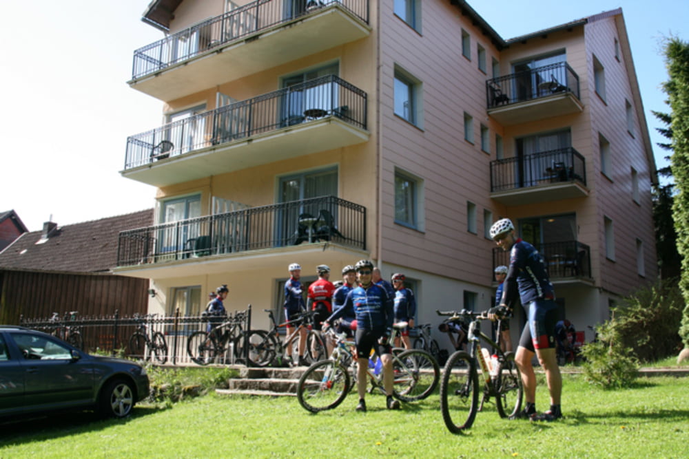
Die Tour startet an der Pension Winkel, geht über Sportplatz Braunlage zum Silberteich. Dann hinunter zum Rinderstall und im Odertal ca. 500m auf kleiner Forststr. Nach der Brücke links hoch, steiler Anstieg Richtung Rehberger Graben (schwierigste Etappe). Dann immer am Rehberger Graben entlang bis zum Oderteich (herrliche Aussicht zwischendurch). Am Oderteich über den alten Staudamm fahren, dahinter gleich rechts und dann oberhalb des Odertals bis Königskrug. Alte Bad Harzburger Str. bis Pension Winkel.
Further information at
http://www.harzidyll.de/harz-reise/mountainbiking/gps-tracks.htmlGalerie du tour
Carte du tour et altitude
Minimum height 483 m
Maximum height 756 m
Commentaires

Tracks GPS
Trackpoints-
GPX / Garmin Map Source (gpx) download
-
TCX / Garmin Training Center® (tcx) download
-
CRS / Garmin Training Center® (crs) download
-
Google Earth (kml) download
-
G7ToWin (g7t) download
-
TTQV (trk) download
-
Overlay (ovl) download
-
Fugawi (txt) download
-
Kompass (DAV) Track (tk) download
-
Feuille de tours (pdf) download
-
Original file of the author (tcx) download
Add to my favorites
Remove from my favorites
Edit tags
Open track
My score
Rate


