Weitere Bilder zu der Tour gibt es hier: www.panoramio.com/photo/37402380
Ziel war es, auf den Monte Baldo www.gardasee.de/orte-am-gardasee/montebaldoregion.html von der östlichen Seite zu kommen. Von Torbole geht es Richtung Mori auf Fahrradwegen parallel zur Straße. Vor dem Tunnel ist dann rechts der Aufstieg Richtung
Brentonico und San Valentino auf kleinen steilen Teerstraßen, auf Abkürzungen (schieben!) und teilweise auf Autostraßen - ggf. findet man auch noch schönere Strecken.
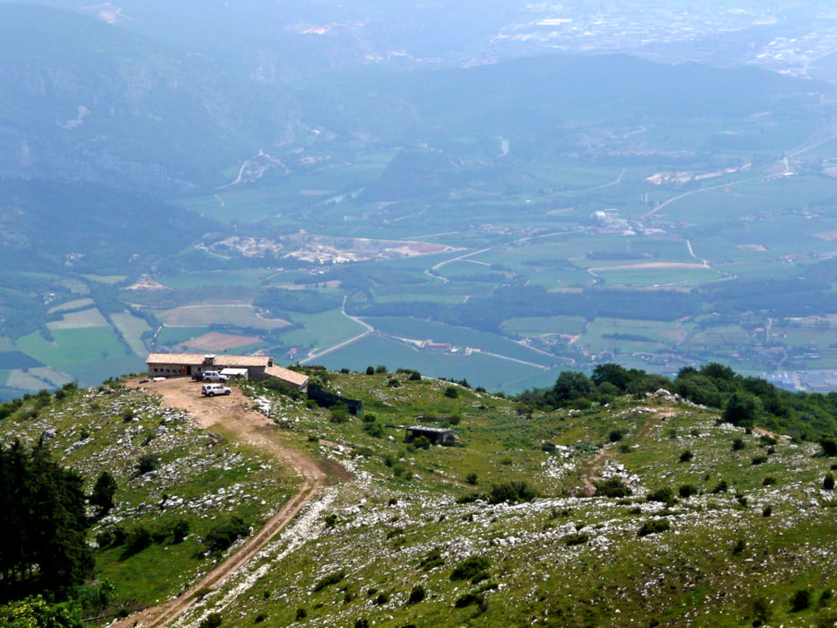
Oben in der Kehre könnte man zum Monte Alitssimo (siehe Tour #60800) aufsteigen. Diese Tour geht allerdings weiter (bergab) bis zur Bocca Navene mit schöner Aussicht auf den Gardasee. Über Malga Ime und Malga Valfredda wird der Panoramaweg erreicht. Die Aussicht bis zum Pasubio-Massiv und bei klarer Sicht bis nach Venedig ist möglich.Der Teil dieser Strecke ist wirklich super.
Auf der Piste Richtung Malga Zocchi warten ein paar knackige Rampen. Danach kommt der reinste Abfahrtsgenuss. Anschließend geht es noch nach Garda am Monte Belpo vorbei. Eine kleine Abfahrt auf einem Singletrail ist eingebaut. Über das (schöne) Mühlental geht es direkt nach Garda zur Fähre? Ja, wenn diese noch fahren würde. Spät nachmittags fährt nur noch die Schnellfähre www.gardainforma.com/de/anreise/Navigarda.html und die nimmt keine Fahrräder mit …..
Further information at
http://www.gardasee-info.comGalerie du tour
Carte du tour et altitude
Commentaires

Gestartet wird in Torbolo und eigentlich sollte in Garda das Ende sein. Das Parken abseits der Hauptstraßen in den Wohngebieten ist (manchmal) möglich.
Informationen zur Fähre: www.navigazionelaghi.it/
Informationen zu Torbole: www.gardatrentino.it/de/torbole-sul-garda-gardasee
Tracks GPS
Trackpoints-
GPX / Garmin Map Source (gpx) download
-
TCX / Garmin Training Center® (tcx) download
-
CRS / Garmin Training Center® (crs) download
-
Google Earth (kml) download
-
G7ToWin (g7t) download
-
TTQV (trk) download
-
Overlay (ovl) download
-
Fugawi (txt) download
-
Kompass (DAV) Track (tk) download
-
Feuille de tours (pdf) download
-
Original file of the author (gpx) download


