Login

Login oublié ?

Cookies have to be accepted!
Your browser's cookie functionality is disabled. Please enable this functionality.

Not a member yet?

Register now
Login

Available for registred users only

Log in to use this feature.

Login oublié ?

Cookies have to be accepted!
Your browser's cookie functionality is disabled. Please enable this functionality.

Not a member yet?

Register now
Filter
Catégories
Advanced filters
  • Longueur (km)
  • Altimètre
Enregistrer le filtre Reset filter

TrackRank

QRCode

Technical data

Longueur42,8 km Altimètre549 m Way down557 m Durée04:30 h:m Date27.06.2010
Evaluations Author Paysage Aspect amusement Condition Technique

Statistiques

351 Vues Evaluations 54 Téléchargements Moyenne
Rate
  • Feuille de tours
  • Arrivée
  • Téléchargements

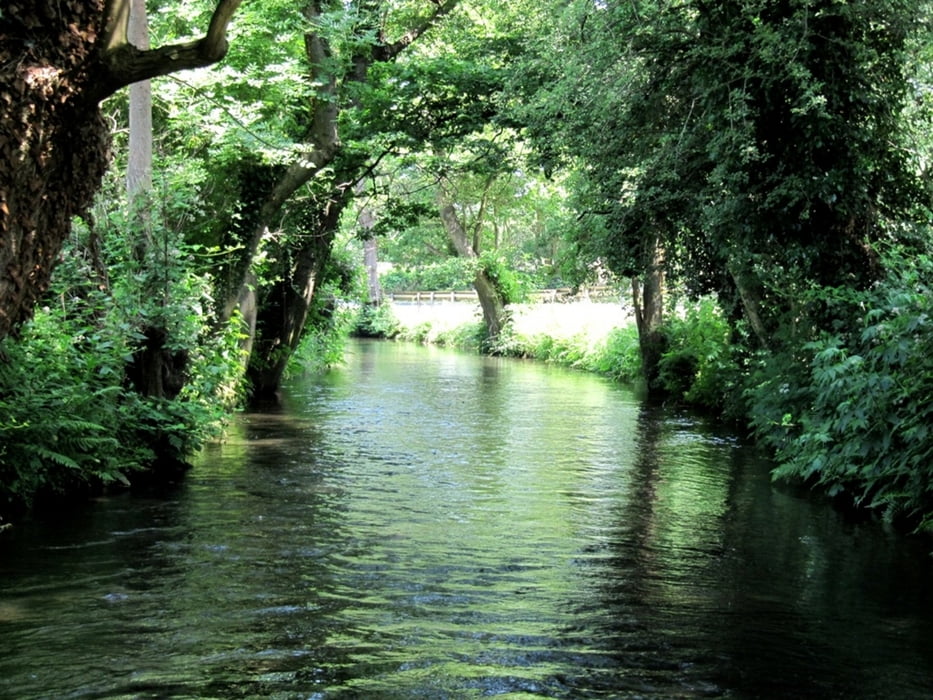
Die Tour ist von der Landschaft sehr gemischt, mal Feld, mal durch sehr schöne Waldstücke.

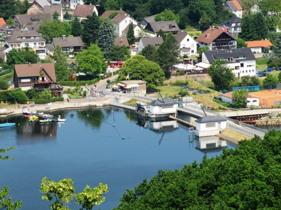
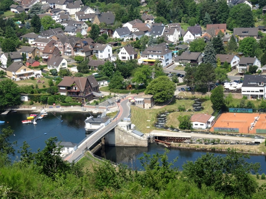
In Obermaubach am Stausee kann man sehr schön Rast machen.

Further information at

http://de.maps.yahoo.com/#mvt=m&lat=50.81237&lon=6.55389&zoom=11&q1=Girbelsrath

Galerie du tour

Carte du tour et altitude

  • Open Street Map
  • Google
Minimum height 73 m Maximum height 401 m Vue de détail

More about the tour author

Rancher
Member since 2009

Send private message

Commentaires

Tracks GPS

Trackpoints
  • GPX / Garmin Map Source (gpx) download
  • TCX / Garmin Training Center® (tcx) download
  • CRS / Garmin Training Center® (crs) download
  • Google Earth (kml) download
  • G7ToWin (g7t) download
  • TTQV (trk) download
  • Overlay (ovl) download
  • Fugawi (txt) download
  • Kompass (DAV) Track (tk) download
  • Feuille de tours (pdf) download
  • Original file of the author (gpx) download

More about the tour author

Rancher
Member since 2009

Send private message
Share track
Add to my favorites
Remove from my favorites
Edit tags
My score
Rate
Tour: WM-Beruhigungstour
Cat.: Mountainbike
Longueur: 42,8 km
Evaluated on:
Durée:
Day(s)
Hour(s)
Minute(s)
Evaluation: Paysage Aspect amusement Condition Technique