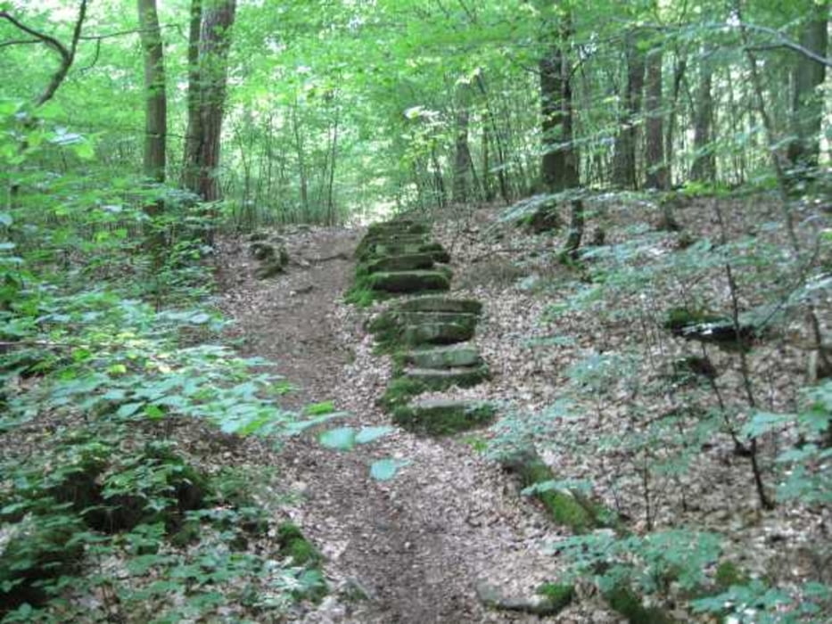
Die erste Stunde zur Kapelle Waldzell hat es in sich, bis nach Karlstadt sind dann schön Wege durch die Felder. Ab Karlstadt geht es auf den völlig unschweren Mainradweg zurück nach Erlach.
Galerie du tour
Carte du tour et altitude
Minimum height 153 m
Maximum height 353 m
Commentaires

Von der BAB 3 nach Marktheidenfeld und weiter nach Ansbach. Von hier aus bis nach Erlach auf kleinen Straßen bis nach Erlach. Ein guter Stützpunkt ist der Bauernhof Maintalhof.de
Tracks GPS
Trackpoints-
GPX / Garmin Map Source (gpx) download
-
TCX / Garmin Training Center® (tcx) download
-
CRS / Garmin Training Center® (crs) download
-
Google Earth (kml) download
-
G7ToWin (g7t) download
-
TTQV (trk) download
-
Overlay (ovl) download
-
Fugawi (txt) download
-
Kompass (DAV) Track (tk) download
-
Feuille de tours (pdf) download
-
Original file of the author (gpx) download
Add to my favorites
Remove from my favorites
Edit tags
Open track
My score
Rate


