Login

Login oublié ?

Cookies have to be accepted!
Your browser's cookie functionality is disabled. Please enable this functionality.

Not a member yet?

Register now
Login

Available for registred users only

Log in to use this feature.

Login oublié ?

Cookies have to be accepted!
Your browser's cookie functionality is disabled. Please enable this functionality.

Not a member yet?

Register now
Filter
Catégories
Advanced filters
  • Longueur (km)
  • Altimètre
Enregistrer le filtre Reset filter

TrackRank

QRCode

Technical data

Longueur22,6 km Altimètre498 m Way down442 m Durée00:00 h:m Date29.06.2010
Evaluations Author Paysage Aspect amusement Condition Technique

Statistiques

510 Vues Evaluations 60 Téléchargements Moyenne
Rate
  • Feuille de tours
  • Arrivée
  • Téléchargements

Start in Weilheim/Teck, auf der Straße bis Deutsches Haus, weiter bis  Abbiegung zunächst Teer, dann grober und feiner Schotter zum Naturfreundehaus Bosslerhaus. Danach auf Schotter am Albtrauf entlang, an den Gedenktafeln vorbei Richtung Weilheimer Skihütte und Startplatz für Gleitschirmflieger. dann die Alte Neidlinger Steige auf grobem Schotter (nix für Trekking-Bikes) hinunter und in Neidlingen rechts zurück Richtung Weilheim.
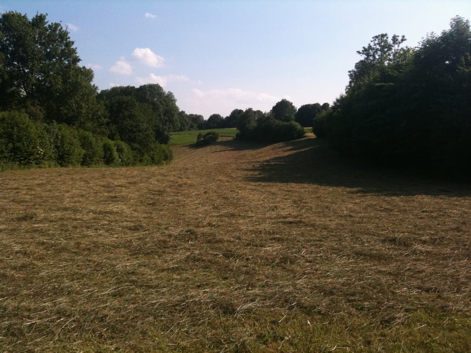
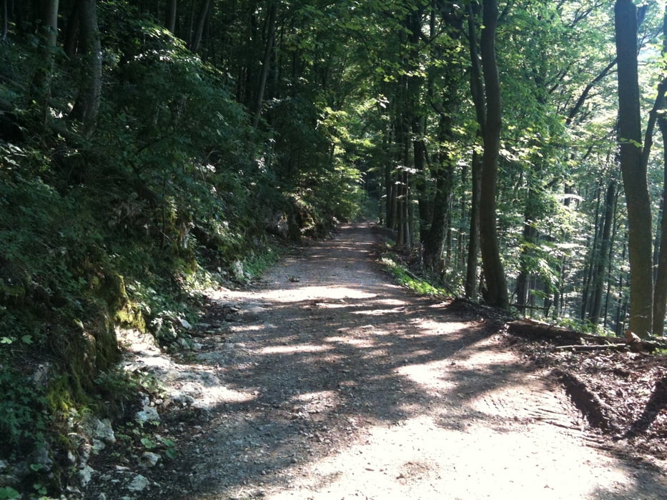
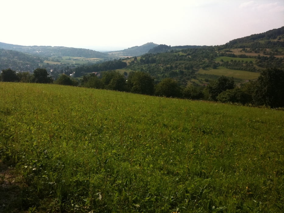
Galerie du tour

Carte du tour et altitude

  • Open Street Map
  • Google
Minimum height 350 m Maximum height 791 m Vue de détail

More about the tour author

akatenango
Member since 2010

Send private message

Commentaires

Tracks GPS

Trackpoints
  • GPX / Garmin Map Source (gpx) download
  • TCX / Garmin Training Center® (tcx) download
  • CRS / Garmin Training Center® (crs) download
  • Google Earth (kml) download
  • G7ToWin (g7t) download
  • TTQV (trk) download
  • Overlay (ovl) download
  • Fugawi (txt) download
  • Kompass (DAV) Track (tk) download
  • Feuille de tours (pdf) download
  • Original file of the author (gpx) download

More about the tour author

akatenango
Member since 2010

Send private message
Share track
Add to my favorites
Remove from my favorites
Edit tags
My score
Rate
Tour: Genuss-Mountain-Biking
Cat.: Mountainbike
Longueur: 22,6 km
Evaluated on:
Durée:
Day(s)
Hour(s)
Minute(s)
Evaluation: Paysage Aspect amusement Condition Technique