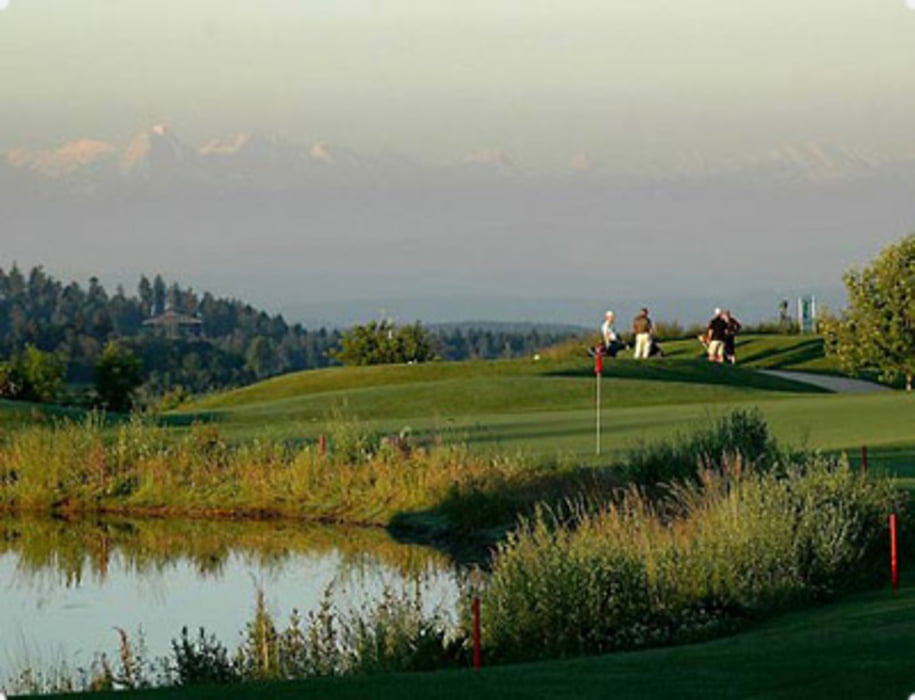
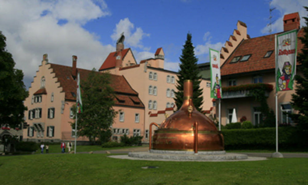
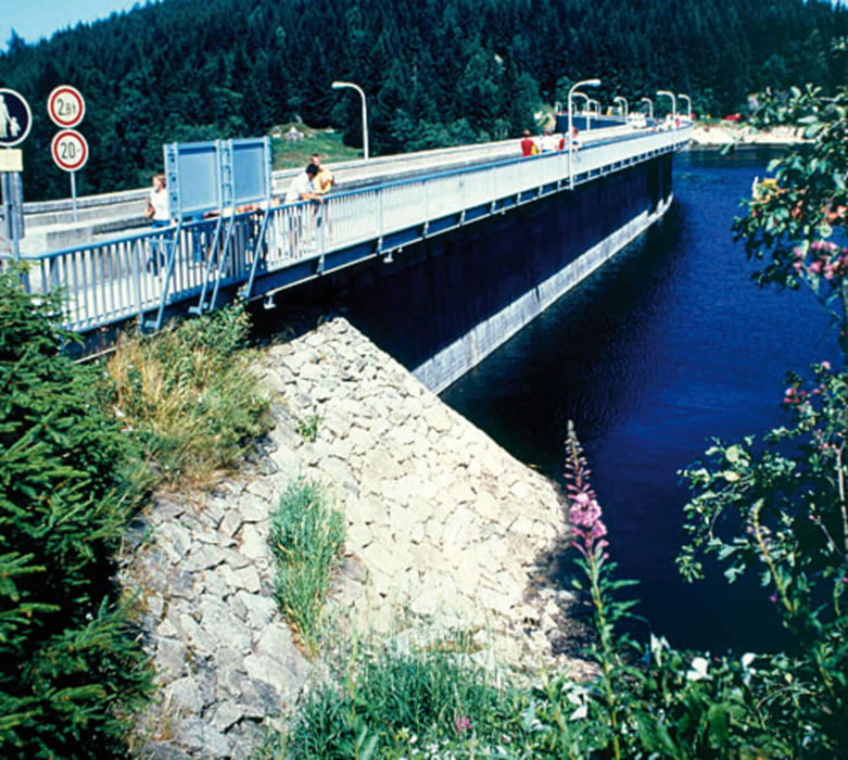
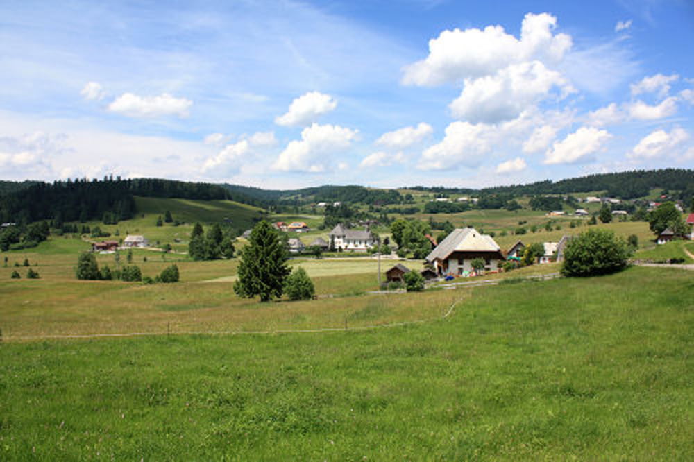
Stühlingen - Bettmaringen - Grafenhausen - Schluchsee - St. Blasien - Ibach - Herrenschried - Bad Säckingen - Waldshut - Wutoschingen - Stühlingen. Für ersten 50km Quälerei wird man durch über 20km geniale Abfahrt belohnt. Einkehrmöglichkeiten gibt es zu genüge aber vom Streckenverlauf her würde ich das idylische St. Blasien empfehlen.
Galerie du tour
Carte du tour et altitude
Minimum height 307 m
Maximum height 1119 m
Commentaires

Tracks GPS
Trackpoints-
GPX / Garmin Map Source (gpx) download
-
TCX / Garmin Training Center® (tcx) download
-
CRS / Garmin Training Center® (crs) download
-
Google Earth (kml) download
-
G7ToWin (g7t) download
-
TTQV (trk) download
-
Overlay (ovl) download
-
Fugawi (txt) download
-
Kompass (DAV) Track (tk) download
-
Feuille de tours (pdf) download
-
Original file of the author (gpx) download
Add to my favorites
Remove from my favorites
Edit tags
Open track
My score
Rate


