


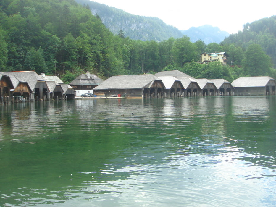
Prva etapa sedemdnevnega kolesarjenja iz Avstrije v Nemčijo, nazaj v Avstrijo in napej v Italijo. Da ne bi bila trasa preveč položna (Neu Anif - Berchtesgaden - Kőnigsee - Reit im Winkl) smo jo dopolnili z vzponom po Rossfeldstrasse (s plačljivo cestnino za tiste z avtomobili) v hribovje nekam nad 1.500 metri. Priblizno 1.000 m višine na mejo med Nemčijo in Avstrijo. Lepi razgledi v obe drzavi in krasen spust nazaj v dolino do Bechtesgadna. Do Konigseeja par kilometrov. Nabito s turisti, kljub predsezoni in kljub četrtku. Potem po loklanih in regionalnih cestah proti Rait im Winklu. Prej zakljuceno zaradi ogleda fusbala Slovenija Anglija...
Galerie du tour

Carte du tour et altitude
Minimum height 451 m
Maximum height 1544 m
More about the tour author
|
|
mitkoII |
Commentaires

Tracks GPS
Trackpoints-
GPX / Garmin Map Source (gpx) download
-
TCX / Garmin Training Center® (tcx) download
-
CRS / Garmin Training Center® (crs) download
-
Google Earth (kml) download
-
G7ToWin (g7t) download
-
TTQV (trk) download
-
Overlay (ovl) download
-
Fugawi (txt) download
-
Kompass (DAV) Track (tk) download
-
Feuille de tours (pdf) download
-
Original file of the author (gpx) download
More about the tour author
|
|
mitkoII |
Add to my favorites
Remove from my favorites
Edit tags
Open track
My score
Rate