Login

Login oublié ?

Cookies have to be accepted!
Your browser's cookie functionality is disabled. Please enable this functionality.

Not a member yet?

Register now
Login

Available for registred users only

Log in to use this feature.

Login oublié ?

Cookies have to be accepted!
Your browser's cookie functionality is disabled. Please enable this functionality.

Not a member yet?

Register now
Filter
Catégories
Advanced filters
  • Longueur (km)
  • Altimètre
Enregistrer le filtre Reset filter

TrackRank

QRCode

Technical data

Longueur32,9 km Altimètre527 m Way down448 m Durée01:29 h:m Date09.07.2010
Evaluations Author Paysage Aspect amusement Condition Technique

Statistiques

484 Vues Evaluations 57 Téléchargements Moyenne
Rate
  • Feuille de tours
  • Arrivée
  • Téléchargements

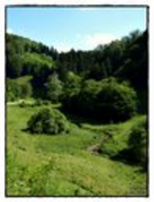
Landschaft zum Genießen im Sommer.

Start in Weilheim, über die Landstraße Richtung Neidlingen, durch Neidlingen, danach am Parkplatz über Schotter Richtung Bahnhöfle.

Oben kurz der Landstraße folgen, dann links bergab wieder über Schotter zum Filsursprung, auf der Straße durch Wiesensteig über Mühlhausen bis nach Gruibingen. An der Raststätte vorbei bis Deutsches Haus, danach wieder rechts abbiegen über eine schnelle Schotterabfahrt bis Weilheim.

Galerie du tour

Carte du tour et altitude

  • Open Street Map
  • Google
Minimum height 332 m Maximum height 705 m Vue de détail

More about the tour author

akatenango
Member since 2010

Send private message

Commentaires

Tracks GPS

Trackpoints
  • GPX / Garmin Map Source (gpx) download
  • TCX / Garmin Training Center® (tcx) download
  • CRS / Garmin Training Center® (crs) download
  • Google Earth (kml) download
  • G7ToWin (g7t) download
  • TTQV (trk) download
  • Overlay (ovl) download
  • Fugawi (txt) download
  • Kompass (DAV) Track (tk) download
  • Feuille de tours (pdf) download
  • Original file of the author (gpx) download

More about the tour author

akatenango
Member since 2010

Send private message
Share track
Add to my favorites
Remove from my favorites
Edit tags
My score
Rate
Tour: Weilheim-Filsursprung-Weilheim
Cat.: Mountainbike
Longueur: 32,9 km
Evaluated on:
Durée:
Day(s)
Hour(s)
Minute(s)
Evaluation: Paysage Aspect amusement Condition Technique