


Start: Annweiler
Ziel: Leinsweiler
Ende: Annweiler
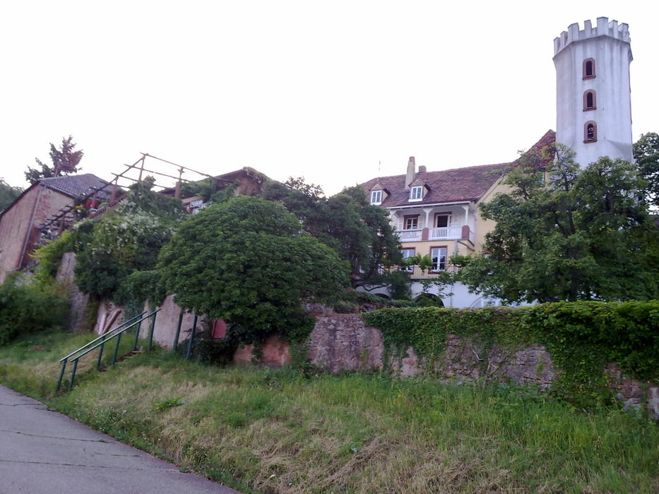
Los gehts in Annweiler den Burgenring hoch, dann den Burgenradweg über Zollstock zum Hexentanzplatz. Von dort aus Richtung Leinsweiler. Kurz vorm Slevogthof dann rechts um zur Ahlmühle.
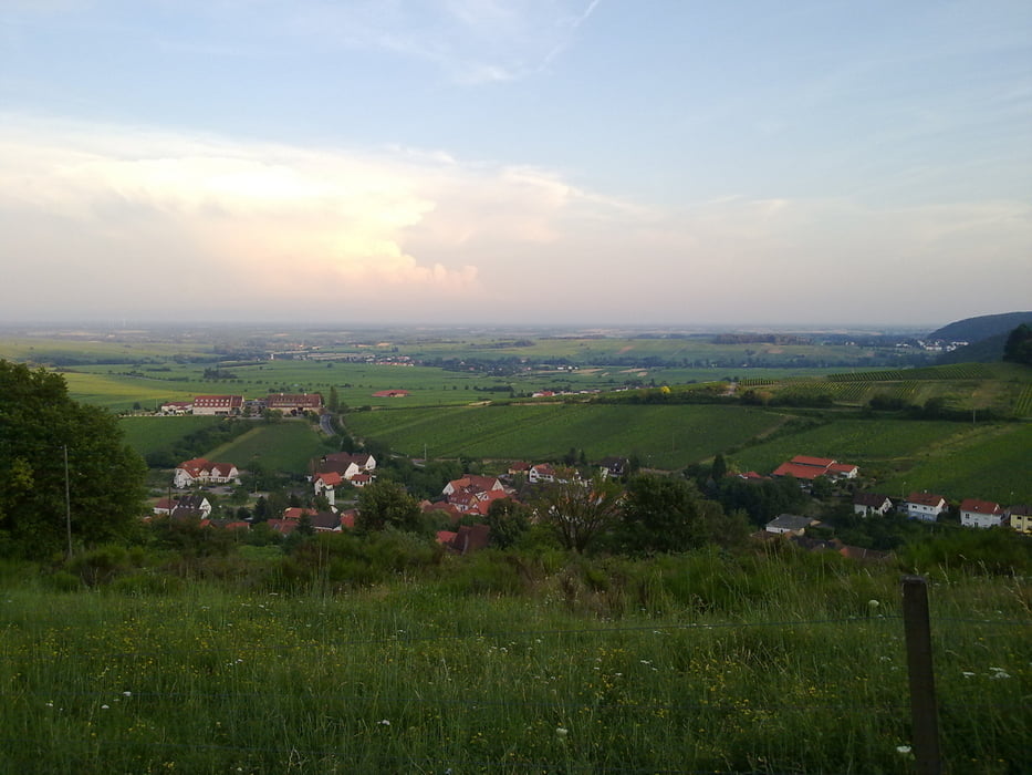
Von der Ahlmühle geht der Rundweg "12" über Windhof einmal um den Wetterberg herum. Wieder am Windhof angekommen nehmen wir die Abfahrt um am Feriendorf in Leinsweiler heraus zu kommen (Nordic Walking Route 3).
In Leinsweiler starten wir den Anstieg vorbei an der Kirche zurück über Slevogthof, Hexentanzplatz und Ahlmühle nach Annweiler. Zuletzt dann wieder über den Burgenradweg.
Rastmöglichkeit in Leinsweiler am Weinprobierstand oder im Slevogthof.
Further information at
http://www.leinsweiler.de/Galerie du tour
Carte du tour et altitude
Minimum height 227 m
Maximum height 498 m
More about the tour author
|
|
Schildbuerger |
Commentaires

Abfahrt B10 aus Richtung Landau(Pfalz) - Annweiler Ost.
Abfahrt B10 aus Richtung Primasens - Annweiler West.
Parkmöglichkeiten:
Parkmöglichkeiten sind ausreichend Ausgeschildert.
ODER
Anreise per Zug zum Bahnhof Annweiler
Tracks GPS
Trackpoints-
GPX / Garmin Map Source (gpx) download
-
TCX / Garmin Training Center® (tcx) download
-
CRS / Garmin Training Center® (crs) download
-
Google Earth (kml) download
-
G7ToWin (g7t) download
-
TTQV (trk) download
-
Overlay (ovl) download
-
Fugawi (txt) download
-
Kompass (DAV) Track (tk) download
-
Feuille de tours (pdf) download
-
Original file of the author (gpx) download
More about the tour author
|
|
Schildbuerger |
Add to my favorites
Remove from my favorites
Edit tags
Open track
My score
Rate