


Die Dachsteinumrundung ist Idividuell zusammengestellt und geht über 201km und 5972hm, hat einige Schiebestücke lange Auffahrten schöne Abfahrten und knackige Trails.
Sart ist in Bad Ischl weiter ins Rettenbachtal über die Blaa Alm nach Altaussee, Grundlsee über den Radlingpass nach Bad Mitterndorf zum Salzastausee. Dann hinauf zur Viehbergalm. Hatten leider keine möglichkeit mehr um auf der Alm zu Übernachten und fuhren über die Öfen runter nach Winkl.
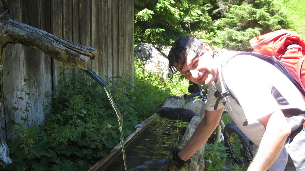
Mehr Bilder unter: seppdepp.heim.at
Galerie du tour


Carte du tour et altitude
Minimum height 411 m
Maximum height 1492 m
More about the tour author
|
|
Atzbach |
Commentaires

Tracks GPS
Trackpoints-
GPX / Garmin Map Source (gpx) download
-
TCX / Garmin Training Center® (tcx) download
-
CRS / Garmin Training Center® (crs) download
-
Google Earth (kml) download
-
G7ToWin (g7t) download
-
TTQV (trk) download
-
Overlay (ovl) download
-
Fugawi (txt) download
-
Kompass (DAV) Track (tk) download
-
Feuille de tours (pdf) download
-
Original file of the author (gpx) download
More about the tour author
|
|
Atzbach |
Add to my favorites
Remove from my favorites
Edit tags
Open track
My score
Rate