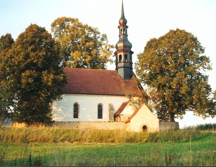
Die Tour beginnt in Goldkronach und führt bis auf wenige Ausnahmen auf wenig befahrenen Straßen, Radwegen und Feldwegen durch die Landschaft. Optimales Greät ist ein Crossbike, ein Tourenrad oder ein Hardtail. Zwei Umwege könnt ihr euch sparen, 1. der Radweg am Main in Bayreuth war zum Teil wegen Baustelle gesperrt wenn da wieder offen ist fahrt gerade, 2.beiTannenbach nicht rechts nach Dörnhof sondern links nach Heinersreuth.
Viel Spass!
Carte du tour et altitude
Minimum height 323 m
Maximum height 530 m
Commentaires

A9 Ausfahrt Bayreuth Nord > Goldkronach
Tracks GPS
Trackpoints-
GPX / Garmin Map Source (gpx) download
-
TCX / Garmin Training Center® (tcx) download
-
CRS / Garmin Training Center® (crs) download
-
Google Earth (kml) download
-
G7ToWin (g7t) download
-
TTQV (trk) download
-
Overlay (ovl) download
-
Fugawi (txt) download
-
Kompass (DAV) Track (tk) download
-
Feuille de tours (pdf) download
-
Original file of the author (gpx) download
Add to my favorites
Remove from my favorites
Edit tags
Open track
My score
Rate

