


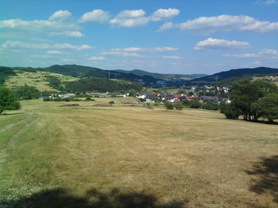
Diese Tour zeichnet sich durch den großen Anteil an Pfaden aus. Der Weg führt überwiegend durch Wald und bietet somit Schutz vor der Sonne und ist auch an heissen Tagen gut zu begehen bzw. zu befahren mit dem Mountainbike. Einkehrmöglichkeiten gibt es direkt an der Strecke nicht aber mit etwas Umweg in Herborn bzw. Sinn oder Ballersbach. Rastplätze sowie eineHütte sind jedoch vorhanden.
Further information at
http://www.lahn-dill-bergland.deGalerie du tour


Carte du tour et altitude
Minimum height 234 m
Maximum height 368 m
More about the tour author

|
Arno Brueck |
Commentaires

Ich bin in Ballersbach gestartet. Ballersbach erreicht man von Herborn über die B255 in Richtung Gladenbach.
Tracks GPS
Trackpoints-
GPX / Garmin Map Source (gpx) download
-
TCX / Garmin Training Center® (tcx) download
-
CRS / Garmin Training Center® (crs) download
-
Google Earth (kml) download
-
G7ToWin (g7t) download
-
TTQV (trk) download
-
Overlay (ovl) download
-
Fugawi (txt) download
-
Kompass (DAV) Track (tk) download
-
Feuille de tours (pdf) download
-
Original file of the author (gpx) download
More about the tour author
|
|
Arno Brueck |
Add to my favorites
Remove from my favorites
Edit tags
Open track
My score
Rate