


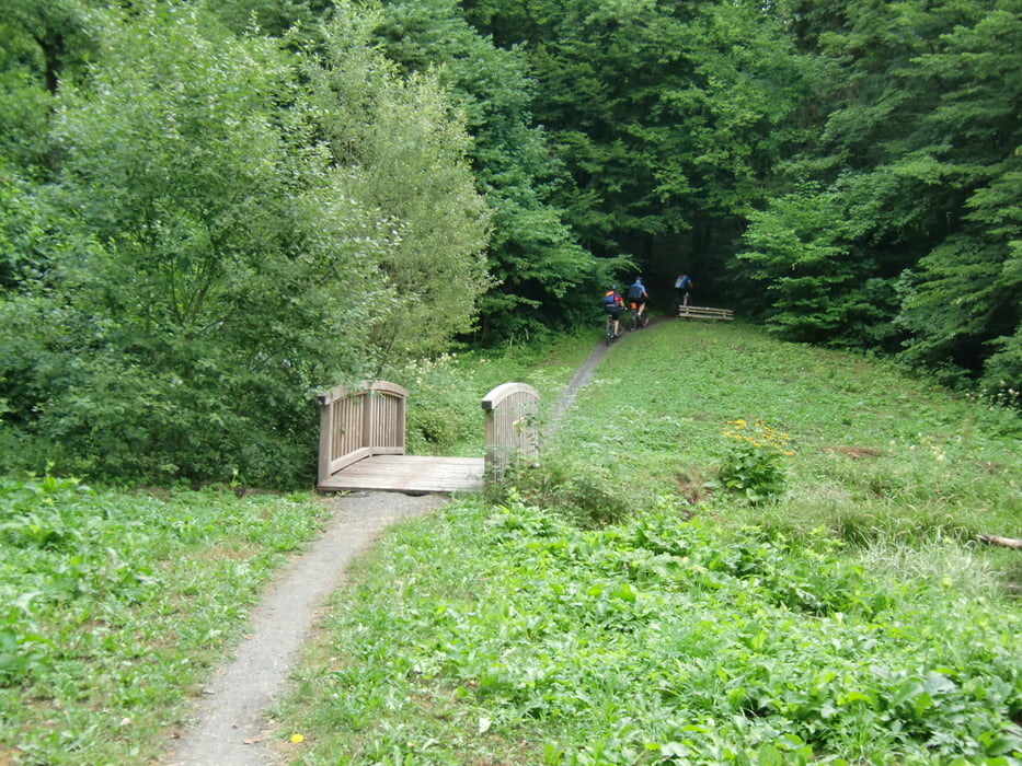
Vom Sportplatz in Brendlorenzen geht es meistens auf Nebenstraßen, Forst- und Waldwegen über Lebenhahn, Sondernau und Weisbach nach Unterweissenbrunn und dann noch ca. 10km bergauf zum Kreuzberg (35km). Der Rückweg verläuft fast komplett auf Waldwegen, Singletrails (21km) und auch mit ein paar schöne Downhills. Die letzten 4 km geht es dann an der Brend entlang zurück zum Sportplatz in Brendlorenzen.
Galerie du tour


Carte du tour et altitude
Minimum height 239 m
Maximum height 893 m
More about the tour author

|
bruno68 |
Commentaires

Start der Tour ist am Sportplatz des TSV Brendlorenzen.
Auf der Autobahn A71 die Ausfahrt Münnerstadt nehmen, danach auf der B19 nach Bad Neustadt. In Bad Neustadt an den ersten Ampeln vorbei, wo die B19 eine starke Rechtskurve macht, links in die Hauptstraße abbiegen. Nach ca. 500m links in die Adolf-Johannes-Straße abbiegen. Nach 400m ist auf der rechten Seite der Sportplatz.
Tracks GPS
Trackpoints-
GPX / Garmin Map Source (gpx) download
-
TCX / Garmin Training Center® (tcx) download
-
CRS / Garmin Training Center® (crs) download
-
Google Earth (kml) download
-
G7ToWin (g7t) download
-
TTQV (trk) download
-
Overlay (ovl) download
-
Fugawi (txt) download
-
Kompass (DAV) Track (tk) download
-
Feuille de tours (pdf) download
-
Original file of the author (gpx) download
More about the tour author
|
|
bruno68 |
Add to my favorites
Remove from my favorites
Edit tags
Open track
My score
Rate