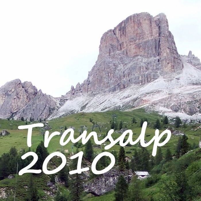
Bindelweghütte (Rifugio Viel dal Pan)
+150 hm
Porta Vescovo (2470 m)
-1000 hm (monsterlange, geile Abfahrt!)
Pezzei
Corte
Cherz
Museo Ladin
Livinallongo del Col di Lana
Castello di Andraz
Castello
Passo Falzarego (2100m)
Cinque Torri (2171m)
Höchster Punkt (2418m)
Posalz/ Codalonga/ Selva die Cadore (1364m)
Santa Fosca (1445m)
Pescul (1416m)
4,5km, +427
Rifugio / Restaurant Fertazza, bewirtet (1843hm)
1,5km, +87hm
Höchster Punkt (Skigebiet Dolomiti Civetta) (1930m)
Bewirtete Hütte Ristoro La Ciasela liegt einige Meter rechts des Tracks
6km, -455hm
Coi (1475m)
4km, -455hm
Alleghe (1023m)
Further information at
http://www.thostnet.de/transalp2010/Carte du tour et altitude
Commentaires

Tracks GPS
Trackpoints-
GPX / Garmin Map Source (gpx) download
-
TCX / Garmin Training Center® (tcx) download
-
CRS / Garmin Training Center® (crs) download
-
Google Earth (kml) download
-
G7ToWin (g7t) download
-
TTQV (trk) download
-
Overlay (ovl) download
-
Fugawi (txt) download
-
Kompass (DAV) Track (tk) download
-
Feuille de tours (pdf) download
-
Original file of the author (gpx) download

