Maltatal (Köllnbreinsperre)
Startpunkt der Tour ist in Pullach bei Bad Aibling.
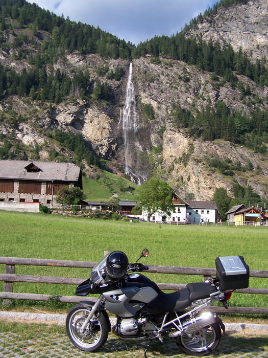
Die Fahrt geht über den Paß Thurn zur Felbertauern-Bundesstraße (8 Euro Maut).
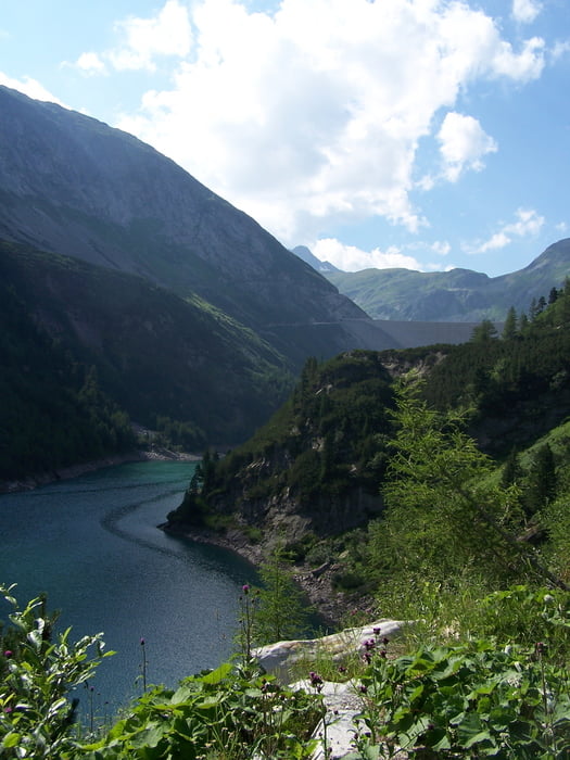
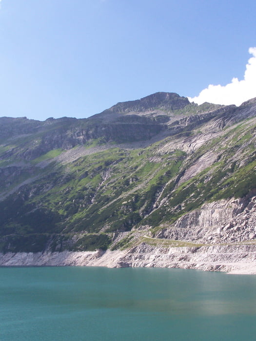
Über den Iselsberg durch's Mölltal nach Gmünd. Von dort geht es in das Maltatal. Die Malta Hochalmstraße (8,20 Euro Maut) hinauf, vorbei am Galgenbichlspeicher bis zur Staumauer der Köllnbreinsperre. Dort kann man die tolle Aussicht genießen, mittlerweile gibt es auch einen Skywalk direkt an der 200m hohen Staumauer.
Zurück fahren wir über den Katschberg, die Radstätter Tauern, vorbei am Hochkönig (Dientner Sattel).
Anschließend über den Griessenpaß am Walchsee vorbei wieder zum Ausgangspunkt.
Further information at
http://www.maltatal.com/Galerie du tour
Carte du tour et altitude
Commentaires

Wer es eilig hat kann auf der A10 (E55) bis zur Ausfahrt Gmünd/Maltatal fahren.
Eine sehr schöne Alternative zur Anreise ist natürlich die Strecke über die Großglocknerstraße. Wegen der relativ hohen Mautgebühr und der Schönheit der Strecke sollte man sich in diesem Fall unbedingt Zeit lassen und für die Tour mindestens 2 Tage veranschlagen.
Tracks GPS
Trackpoints-
GPX / Garmin Map Source (gpx) download
-
TCX / Garmin Training Center® (tcx) download
-
CRS / Garmin Training Center® (crs) download
-
Google Earth (kml) download
-
G7ToWin (g7t) download
-
TTQV (trk) download
-
Overlay (ovl) download
-
Fugawi (txt) download
-
Kompass (DAV) Track (tk) download
-
Feuille de tours (pdf) download
-
Original file of the author (gpx) download


