


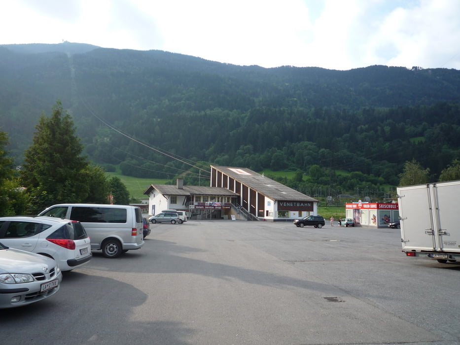
Nur zur Vollständigkeit ( vielleicht findet ja der ein oder andere die Venetbahn nich ;-) )!
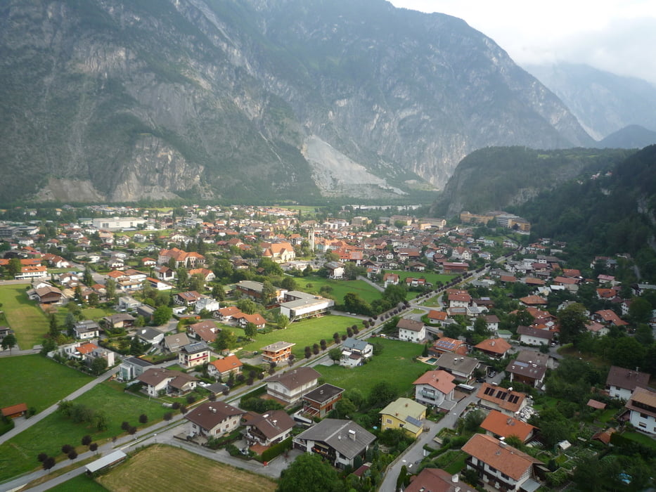
Zams ist ein typisches Nordtiroler Dorf mit heute etwa 4.000 Einwohnern, das aber schon auf eine mehr als tausendjährige Geschichte zurückblicken kann und als Heimat einer Reihe von Künstlern ebenso bekannt ist wie als Wintersportort. Von hier aus starten Sie zu einer etwas untypischen Tagesetappe, denn diese die Nutzung von Verkehrsmitteln und zwar von Seilbahn und Bus. Anders ist der erste Teil der Strecke für Wanderer aber nicht zu bewerkstelligen, und auf dem zweiten Teil verpassen Sie nichts, wenn Sie sich 30 km durchs Pitztal mit dem Bus fahren lassen, anstatt neben der Straße einher zu marschieren.
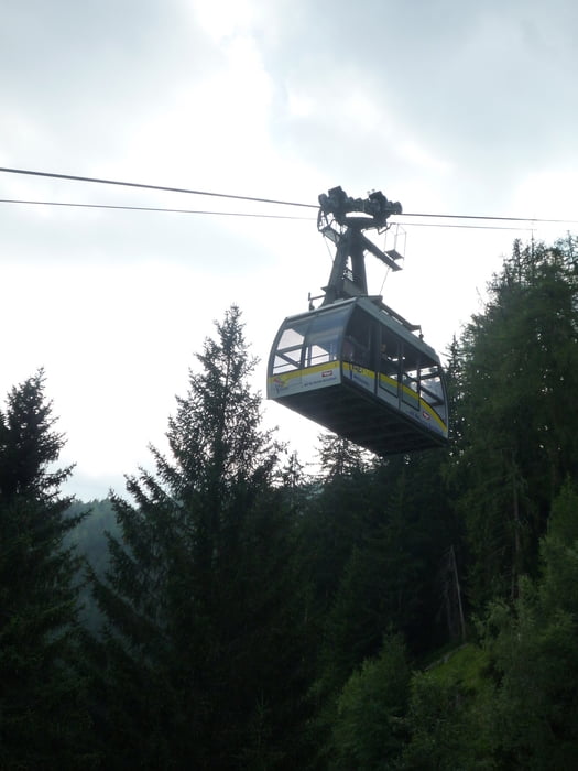
Von Zams aus bringen die Gondeln der Venetbahn Sie auf den Krahberg hinauf – 1.400 für den Wanderer anders nicht zu bewältigende Höhenmeter in 8 Minuten.
Weiter bei E5 ( 4.2 ) Krahberg - Wenns !
Further information at
http://www.venet.at/php/betriebszeiten,183.htmlGalerie du tour

Carte du tour et altitude
Minimum height 770 m
Maximum height 2154 m
More about the tour author
|
|
FLU |
Commentaires

Tracks GPS
Trackpoints-
GPX / Garmin Map Source (gpx) download
-
TCX / Garmin Training Center® (tcx) download
-
CRS / Garmin Training Center® (crs) download
-
Google Earth (kml) download
-
G7ToWin (g7t) download
-
TTQV (trk) download
-
Overlay (ovl) download
-
Fugawi (txt) download
-
Kompass (DAV) Track (tk) download
-
Feuille de tours (pdf) download
-
Original file of the author (gpx) download
More about the tour author
|
|
FLU |
Add to my favorites
Remove from my favorites
Edit tags
Open track
My score
Rate