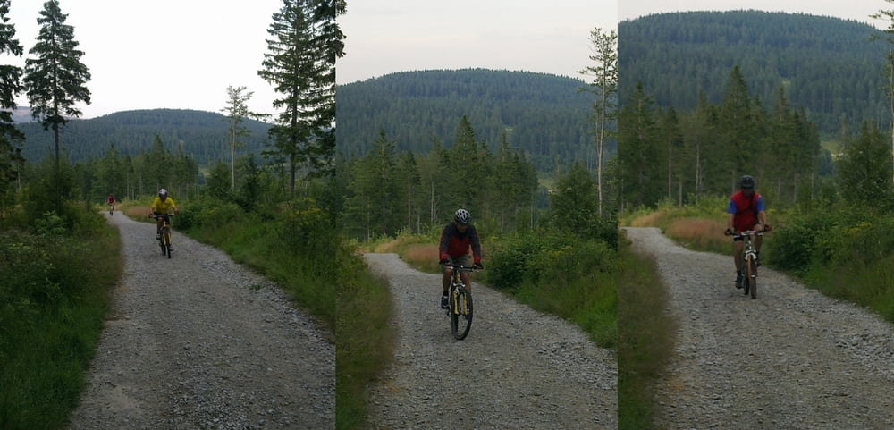
Von Lam aus über Berghäusl und die Bayerwaldloipe zum LL-Zentrum Scheiben. Weiter über Brennes-Sattel hinauf zum Arberschutzhaus. Rückweg über kleinen Arbersee wieder nach Lam.
Further information at
http://de.wikipedia.org/wiki/Gro%C3%9Fer_ArberGalerie du tour
Carte du tour et altitude
Minimum height 522 m
Maximum height 1366 m
Commentaires
Start und Ziel ist das Schul- und Sportzentrum Lam mit ausreichend Parkmöglichkeiten.
Tracks GPS
Trackpoints-
GPX / Garmin Map Source (gpx) download
-
TCX / Garmin Training Center® (tcx) download
-
CRS / Garmin Training Center® (crs) download
-
Google Earth (kml) download
-
G7ToWin (g7t) download
-
TTQV (trk) download
-
Overlay (ovl) download
-
Fugawi (txt) download
-
Kompass (DAV) Track (tk) download
-
Feuille de tours (pdf) download
-
Original file of the author (gpx) download
Add to my favorites
Remove from my favorites
Edit tags
Open track
My score
Rate


zu empfehlen