
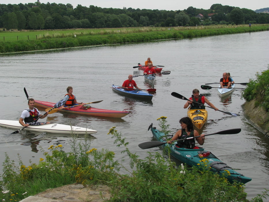

Wir sind mit unserem Verein in zwei Gruppen die Tour gefahren. EIne hälfte ist mit Rennbooten gefahren und hat die Tour in 4 Stunden bewältigt, die Wandergruppe hat 6 Stunden gebraucht.
Landschaftlich sehr schöne und abwechslungsreiche Tour. Nur wenige Umtragestellen, da meistens Bootsrutschen vorhanden sind. Sichere Rennsportler können diese auch mit dem Rennboot fahren. Ansonsten eine paar kleine Stromschnellen und ein paar Strömungsfahrten.
Empfehlenswert.
Mehr Fotos sind auf unserer Vereins HP unter Kanuwandern zu finden.
Further information at
http://www.kanutc69.de/html/wandern.htmGalerie du tour


Carte du tour et altitude
Minimum height 38 m
Maximum height 76 m
More about the tour author
|
|
Ahres |
Commentaires

Wir sind beim KC Wiking Bochum eingestiegen, Navi auf "Zur Alten Fähre" stellen. Ausstieg bei der KG Essen and der Freiherr von Stein Strasse.
Tracks GPS
Trackpoints-
GPX / Garmin Map Source (gpx) download
-
TCX / Garmin Training Center® (tcx) download
-
CRS / Garmin Training Center® (crs) download
-
Google Earth (kml) download
-
G7ToWin (g7t) download
-
TTQV (trk) download
-
Overlay (ovl) download
-
Fugawi (txt) download
-
Kompass (DAV) Track (tk) download
-
Feuille de tours (pdf) download
-
Original file of the author (gpx) download
More about the tour author
|
|
Ahres |
Add to my favorites
Remove from my favorites
Edit tags
Open track
My score
Rate