


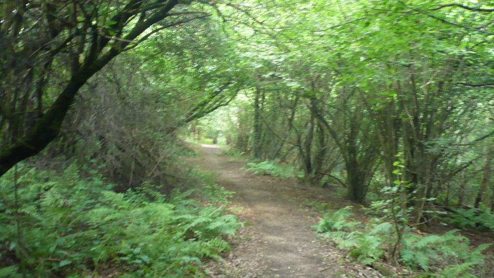
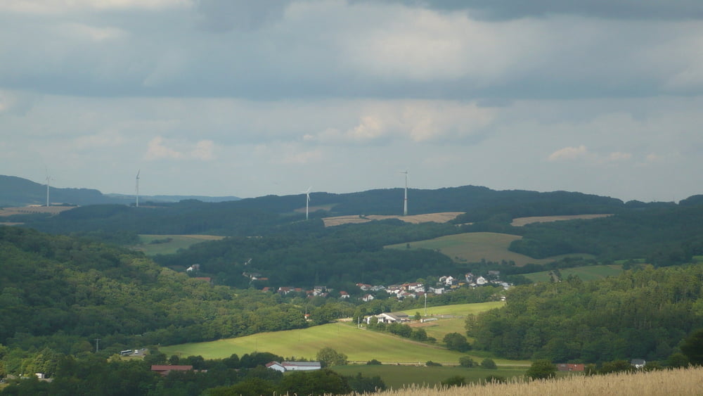
Die Tour führt dich fast ausschließlich über Rad, Waldwege mit Kniffligen Trails und Feldwirtschaftswegen über die Höhen des Ostertals mit herrlichen Aussichtspunkten über das Nordöstliche Saarland. Start und Ziel ist der Dorfplatz in Osterbrücken. Übernachtung, Radservice und viele weitere MTB. Touren findet man in der nahen Radsportstadt St.Wendel. Viel Spaß beim nachfahren.
Galerie du tour
Carte du tour et altitude
Minimum height 285 m
Maximum height 500 m
More about the tour author
|
|
schaehal |
Commentaires

66606 St.Wendel - Osterbrücken Saarland. Start, Ziel ist der Dorfplatz von Osterbrücken.
Tracks GPS
Trackpoints-
GPX / Garmin Map Source (gpx) download
-
TCX / Garmin Training Center® (tcx) download
-
CRS / Garmin Training Center® (crs) download
-
Google Earth (kml) download
-
G7ToWin (g7t) download
-
TTQV (trk) download
-
Overlay (ovl) download
-
Fugawi (txt) download
-
Kompass (DAV) Track (tk) download
-
Feuille de tours (pdf) download
-
Original file of the author (gpx) download
More about the tour author
|
|
schaehal |
Add to my favorites
Remove from my favorites
Edit tags
Open track
My score
Rate