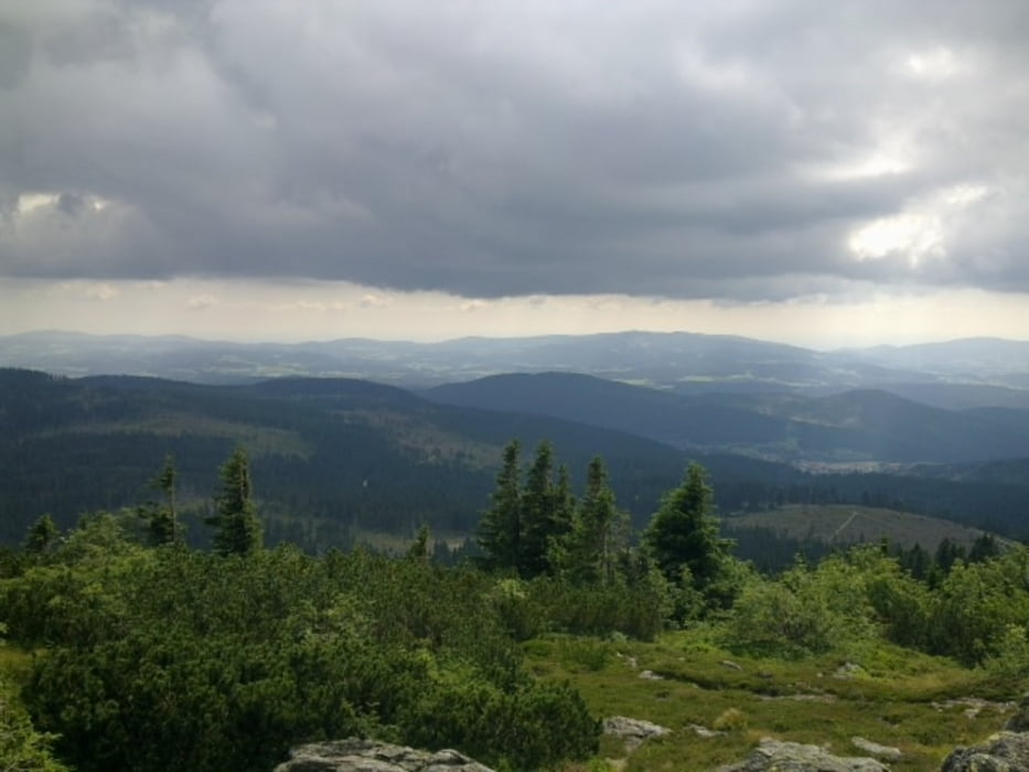
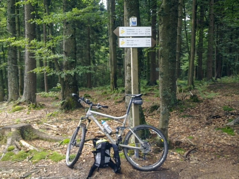
Landschaftlich sehr schöne Tour von Lam über Mühlriegel, Schareben, Großer Arber, kleiner Arbersee und wieder zurück nach Lam. Insbesondere der Trail vom kleinen Arbersee hinunter Richtung Lohberghütte (Wanderweg LO3) ist technisch schwierig, daher hier die Kategorie 5.
Further information at
http://de.wikipedia.org/wiki/Gro%C3%9Fer_ArberGalerie du tour
Carte du tour et altitude
Minimum height 519 m
Maximum height 1453 m
Commentaires

Start der Tour ist am Bahnhof in Lam mit ausreichenden Parkmöglichkeiten.
Tracks GPS
Trackpoints-
GPX / Garmin Map Source (gpx) download
-
TCX / Garmin Training Center® (tcx) download
-
CRS / Garmin Training Center® (crs) download
-
Google Earth (kml) download
-
G7ToWin (g7t) download
-
TTQV (trk) download
-
Overlay (ovl) download
-
Fugawi (txt) download
-
Kompass (DAV) Track (tk) download
-
Feuille de tours (pdf) download
-
Original file of the author (gpx) download
Add to my favorites
Remove from my favorites
Edit tags
Open track
My score
Rate


