Login

Login oublié ?

Cookies have to be accepted!
Your browser's cookie functionality is disabled. Please enable this functionality.

Not a member yet?

Register now
Login

Available for registred users only

Log in to use this feature.

Login oublié ?

Cookies have to be accepted!
Your browser's cookie functionality is disabled. Please enable this functionality.

Not a member yet?

Register now
Filter
Catégories
Advanced filters
  • Longueur (km)
  • Altimètre
Enregistrer le filtre Reset filter

TrackRank

QRCode

Technical data

Longueur20,1 km Altimètre236 m Way down229 m Durée03:30 h:m Date04.08.2010
Evaluations Author Paysage Aspect amusement Condition Technique

Statistiques

2792 Vues Evaluations 371 Téléchargements Moyenne
Rate
  • Feuille de tours
  • Arrivée
  • Téléchargements

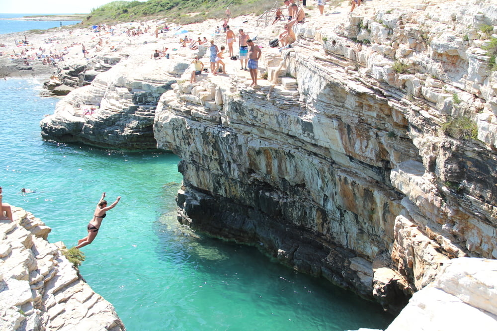
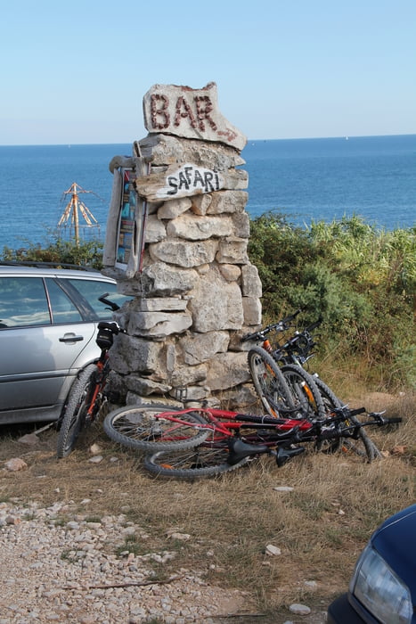
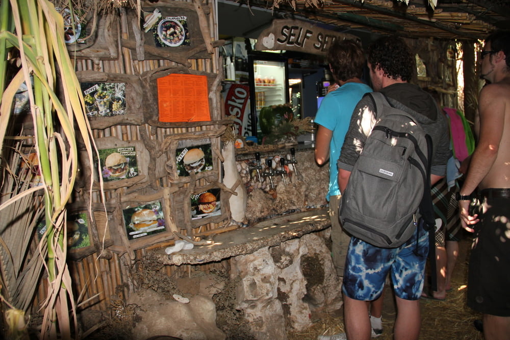
Die Tour beginnt bei Banjole und führt über Premantura entlang der Küste (Single-Trail) zum Cap Kamenjak. Dort kann man in der Safari-Bar richtig relaxen. Ein richtiges Erlebnis. Danach beginnt der Rückweg über die Brücke von Pomer wieder nach Banjole.

Galerie du tour

Carte du tour et altitude

  • Open Street Map
  • Google
Minimum height -1 m Maximum height 66 m Vue de détail

More about the tour author

rswowo
Member since 2007

Send private message

Commentaires

Tracks GPS

Trackpoints
  • GPX / Garmin Map Source (gpx) download
  • TCX / Garmin Training Center® (tcx) download
  • CRS / Garmin Training Center® (crs) download
  • Google Earth (kml) download
  • G7ToWin (g7t) download
  • TTQV (trk) download
  • Overlay (ovl) download
  • Fugawi (txt) download
  • Kompass (DAV) Track (tk) download
  • Feuille de tours (pdf) download
  • Original file of the author (gpx) download

More about the tour author

rswowo
Member since 2007

Send private message
Share track
Add to my favorites
Remove from my favorites
Edit tags
My score
Rate
Tour: Zum Cap Kamenjak
Cat.: Mountainbike
Longueur: 20,1 km
Evaluated on:
Durée:
Day(s)
Hour(s)
Minute(s)
Evaluation: Paysage Aspect amusement Condition Technique