Login

Login oublié ?

Cookies have to be accepted!
Your browser's cookie functionality is disabled. Please enable this functionality.

Not a member yet?

Register now
Login

Available for registred users only

Log in to use this feature.

Login oublié ?

Cookies have to be accepted!
Your browser's cookie functionality is disabled. Please enable this functionality.

Not a member yet?

Register now
Filter
Catégories
Advanced filters
  • Longueur (km)
  • Altimètre
Enregistrer le filtre Reset filter

TrackRank

QRCode

Technical data

Longueur16,6 km Altimètre734 m Way down717 m Durée01:30 h:m Date12.08.2010
Evaluations Author Paysage Aspect amusement Condition Technique

Statistiques

1110 Vues 1 Evaluation 199 Téléchargements 2.00 Moyenne
Rate
  • Feuille de tours
  • Arrivée
  • Téléchargements

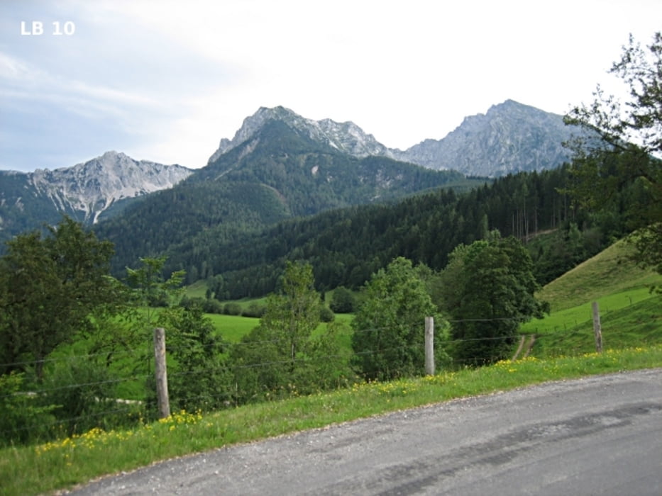
Die MTB Tour Spital am Pyhrn ist eine offizielle und als "Oberwenger Panoramarunde" sehr gut beschilderte MTB - Tour im Süden von Oberösterreich an der Grenze zur Steiermark. Die Mountainbike Tour mit vielen sehr schönen Aussichtspunkten ist zum Schutz der Wildtiere vom 15. April bis 31. Oktober und 2 Stunden nach dem Sonnenaufgang bis 1 Stunde vor dem Sonnenuntergang geöffnet. 

Mehr Infos und Fotos findest du auf - biketours4you.at 

Carte du tour et altitude

  • Open Street Map
  • Google
Minimum height 633 m Maximum height 1208 m Vue de détail

More about the tour author

Trek1400d
Member since 2008

Send private message

Commentaires

Tracks GPS

Trackpoints
  • GPX / Garmin Map Source (gpx) download
  • TCX / Garmin Training Center® (tcx) download
  • CRS / Garmin Training Center® (crs) download
  • Google Earth (kml) download
  • G7ToWin (g7t) download
  • TTQV (trk) download
  • Overlay (ovl) download
  • Fugawi (txt) download
  • Kompass (DAV) Track (tk) download
  • Feuille de tours (pdf) download
  • Original file of the author (gpx) download

More about the tour author

Trek1400d
Member since 2008

Send private message
Share track
Add to my favorites
Remove from my favorites
Edit tags
My score
Rate
Tour: Oberwenger Panoramaroute
Cat.: Mountainbike
Longueur: 16,6 km
Evaluated on:
Durée:
Day(s)
Hour(s)
Minute(s)
Evaluation: Paysage Aspect amusement Condition Technique