


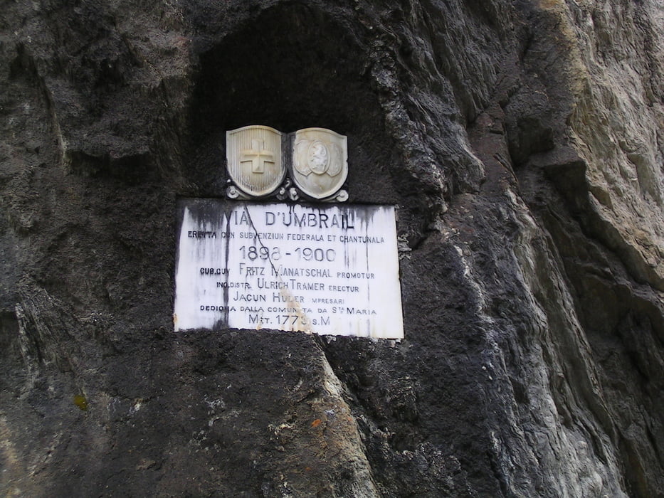
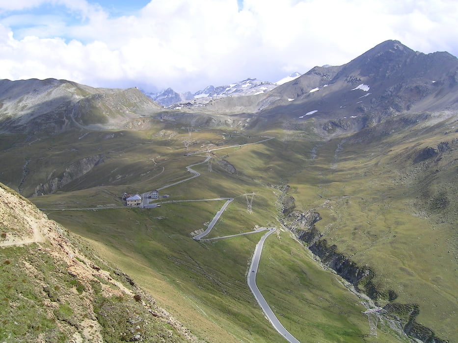
Startbei der Sesvennahütte - sehr steile Schotterabfahrt zur Croda Nera - weiter über Schlinig, Schleis und Laatsch in's Val Mustair bis Santa Maria - über Umbrailstrasse zum Umbrailpass, teils Asphalt, teils Schotter - ab Umbrailpass witterungsbedingt schnelle Abfahrt über Asphalt nach Bormio (leider mußten wir wegen einer aufkommenden Schlechtwetterfront die eigentlich geplante Bocchetta die Forcola auslassen) - Tagesziel Bormio (unser Hotel: Baita dei Pini; direkt im Zentrum; nicht ganz billig aber Top-Zimmer, Top-Restaurant, und Wäscheservice incl.)
Wer die Bocchetta die Forcola mitnehmen will, einfach am Umbrailpass den nach rechts abzweigenden Trail/Wanderweg nehmen.
Galerie du tour

Carte du tour et altitude
Minimum height 966 m
Maximum height 2500 m
More about the tour author

|
Commentaires

Tracks GPS
Trackpoints-
GPX / Garmin Map Source (gpx) download
-
TCX / Garmin Training Center® (tcx) download
-
CRS / Garmin Training Center® (crs) download
-
Google Earth (kml) download
-
G7ToWin (g7t) download
-
TTQV (trk) download
-
Overlay (ovl) download
-
Fugawi (txt) download
-
Kompass (DAV) Track (tk) download
-
Feuille de tours (pdf) download
-
Original file of the author (gpx) download
More about the tour author
|
|
Add to my favorites
Remove from my favorites
Edit tags
Open track
My score
Rate