


Start beim Rifugio Graffer und zunächst auf gleicher Strecke hinunter bis Madonna di Campiglio - weiter Richtung Rifugio Cascata - moderat bergauf zum Lago di Valagola, einem wunderschönen Bergsee vor Brenta-Kulisse - sausteile Schiebepassage hoch zum Passo Bregn da l'Ors - vorbei an der Malga Movlina zum Rifugio Ghedina - wechselnd über Asphalt und Schotter durch viele kleine ital. Dörfer bis Storo - von dort leider kurzer Abschnitt über Straße nach Anfo am Idrosee. Übernachtung im Hotel al Lago, einem einfachen Hotel mit Etagendusche/-toilette, aber sehr guter Pizzeria :-)) direkt am See (wie der Name schon sagt)
Wer sich den Straßenabschnitt von Storo bis Anfo (ca. 12 km) sparen will sucht sich evtl. besser eine Unterkunft in Storo. Der Lago d'Idro ist jedoch den Abstecher so oder so wert.
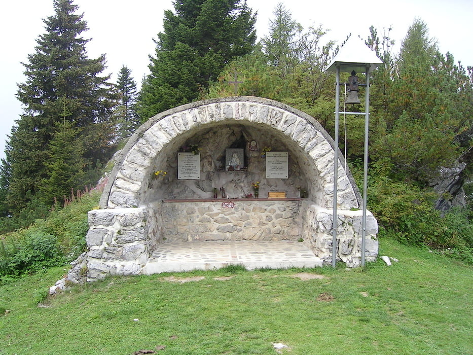
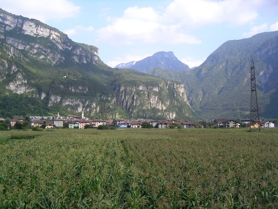
Galerie du tour


Carte du tour et altitude
Minimum height 371 m
Maximum height 2270 m
More about the tour author

|
Commentaires

Tracks GPS
Trackpoints-
GPX / Garmin Map Source (gpx) download
-
TCX / Garmin Training Center® (tcx) download
-
CRS / Garmin Training Center® (crs) download
-
Google Earth (kml) download
-
G7ToWin (g7t) download
-
TTQV (trk) download
-
Overlay (ovl) download
-
Fugawi (txt) download
-
Kompass (DAV) Track (tk) download
-
Feuille de tours (pdf) download
-
Original file of the author (gpx) download
More about the tour author
|
|
Add to my favorites
Remove from my favorites
Edit tags
Open track
My score
Rate