

Massif Central
. . a soil cut up with deep ravines, crossed in every way by lofty walls of lava, and furrowed by numerous torrents.
. . a soil cut up with deep ravines, crossed in every way by lofty walls of lava, and furrowed by numerous torrents.
Further information at
http://france-for-visitors.com/massif-central/index.htmlGalerie du tour

Carte du tour et altitude
Minimum height 816 m
Maximum height 1136 m
More about the tour author

|
uhn |
Commentaires

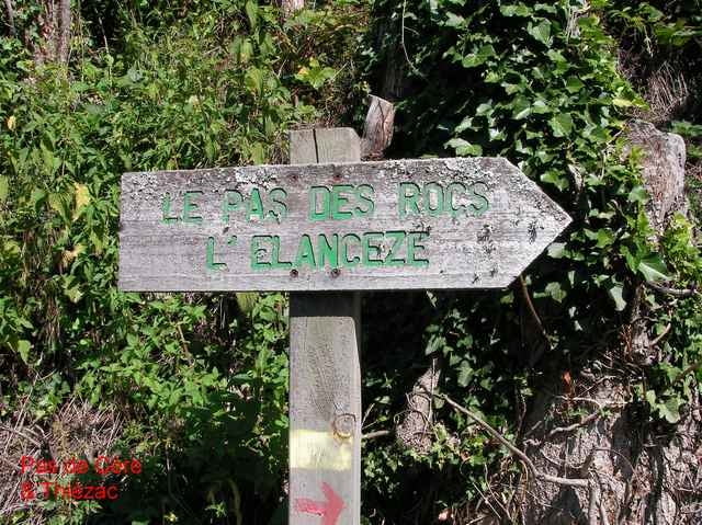
Starting point: Start from the church at the west end of Thiézac. Take the turning which leaves the main street alongside the Hotel du Commerce.
Easy walk on good paths.
Easy walk on good paths.
Tracks GPS
Trackpoints-
GPX / Garmin Map Source (gpx) download
-
TCX / Garmin Training Center® (tcx) download
-
CRS / Garmin Training Center® (crs) download
-
Google Earth (kml) download
-
G7ToWin (g7t) download
-
TTQV (trk) download
-
Overlay (ovl) download
-
Fugawi (txt) download
-
Kompass (DAV) Track (tk) download
-
Feuille de tours (pdf) download
-
Original file of the author (gpx) download
More about the tour author
|
|
uhn |
Add to my favorites
Remove from my favorites
Edit tags
Open track
My score
Rate