Login

Login oublié ?

Cookies have to be accepted!
Your browser's cookie functionality is disabled. Please enable this functionality.

Not a member yet?

Register now
Login

Available for registred users only

Log in to use this feature.

Login oublié ?

Cookies have to be accepted!
Your browser's cookie functionality is disabled. Please enable this functionality.

Not a member yet?

Register now
Filter
Catégories
Advanced filters
  • Longueur (km)
  • Altimètre
Enregistrer le filtre Reset filter

TrackRank

QRCode

Technical data

Longueur42,3 km Altimètre1244 m Way down1230 m Durée00:00 h:m Date15.08.2010
Evaluations Author Paysage Aspect amusement Condition Technique

Statistiques

507 Vues Evaluations 81 Téléchargements Moyenne
Rate
  • Feuille de tours
  • Arrivée
  • Téléchargements

Start in Prutz beim Kaufhaus M-Preis. Auf dem Radweg über Ried nach Tösens. Bei der Kirche zum Weiler Ganden. Auf asphaltierter Straße an Eggele vorbei bis nach Pfunds. Zum Weiler Greit bis auf 1657m zur Tschey-Lücke. Durch das Pfundser Tscheytal zum höchsten Punkt der Rund auf 1728 m. Von hier fast nur mehr abwärts nach Übersachsen und zurück nach Tösens. Auf dem Radweg bis nach Prutz.
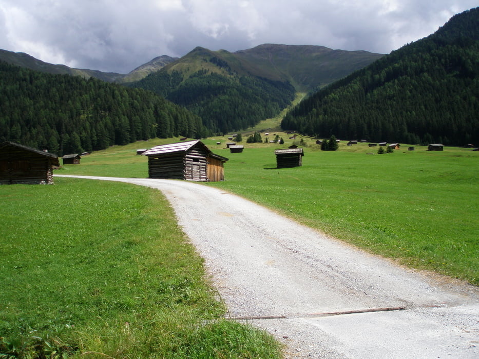
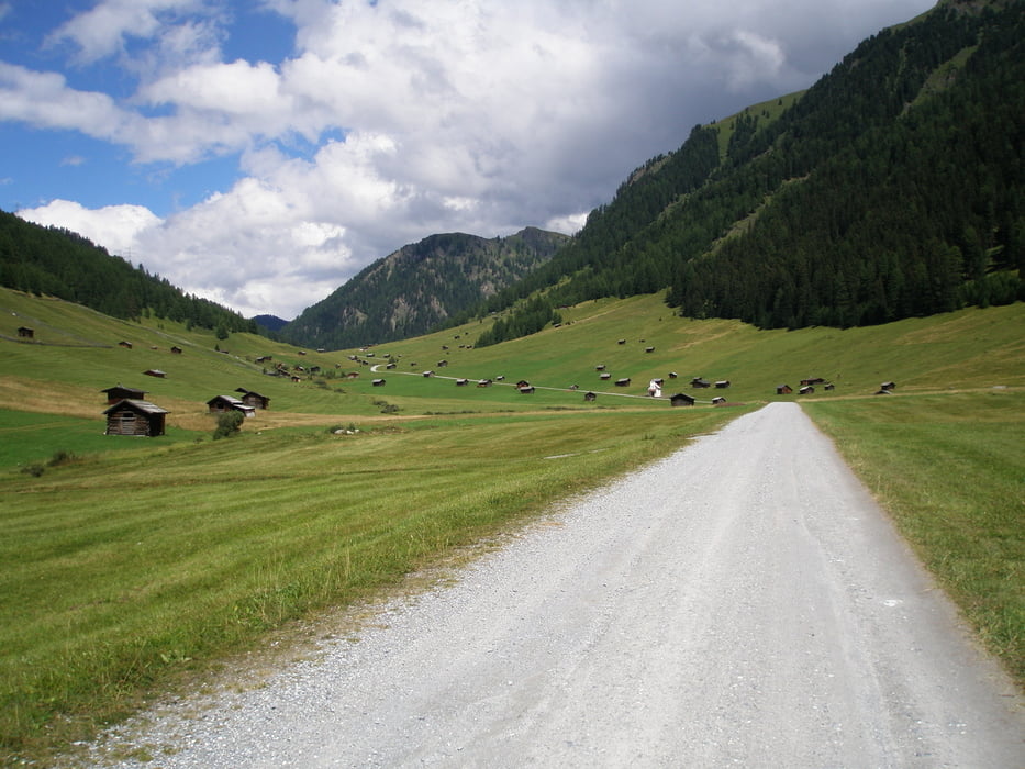
Galerie du tour

Carte du tour et altitude

  • Open Street Map
  • Google
Minimum height 875 m Maximum height 1721 m Vue de détail

More about the tour author

simplon73
Member since 2009

Send private message

Commentaires

Tracks GPS

Trackpoints
  • GPX / Garmin Map Source (gpx) download
  • TCX / Garmin Training Center® (tcx) download
  • CRS / Garmin Training Center® (crs) download
  • Google Earth (kml) download
  • G7ToWin (g7t) download
  • TTQV (trk) download
  • Overlay (ovl) download
  • Fugawi (txt) download
  • Kompass (DAV) Track (tk) download
  • Feuille de tours (pdf) download
  • Original file of the author (gpx) download

More about the tour author

simplon73
Member since 2009

Send private message
Share track
Add to my favorites
Remove from my favorites
Edit tags
My score
Rate
Tour: Tscheywiesen
Cat.: Mountainbike
Longueur: 42,3 km
Evaluated on:
Durée:
Day(s)
Hour(s)
Minute(s)
Evaluation: Paysage Aspect amusement Condition Technique