
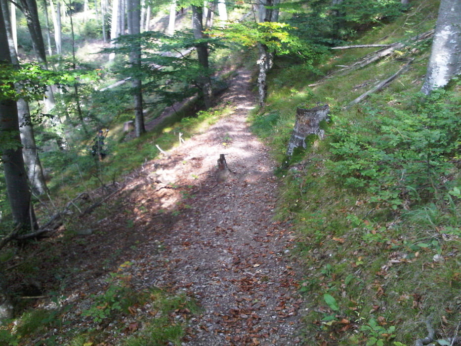

Leichte Feierabendrunde entlang des Lechhöhenweges. Sie beginnt in Unterdießen und führt über einen Feldweg Richtung Römerkessel über die Lechbrücke bei Lechmühlen nach Mundraching zum Lechhöhenweg. Entlang des Lechhöhenweges hat man immer wieder die Möglichkeit verschiedene Trail-Varianten zu fahren. Diese Route ist aber entlang des Hauptweges. Diese führt an der Teufelsküche - einem Ausflugslokal - am östlichen Lechufer vorbei und führt durch den Wildpark. Der restliche Teil der Strecke führt durch die Stadt Landsberg auf dem Radweg nach Erpfting, Ellighofen und wieder nach Unterdießen.
Carte du tour et altitude
Minimum height 595 m
Maximum height 695 m
More about the tour author

|
cmeyer |
Commentaires

Tracks GPS
Trackpoints-
GPX / Garmin Map Source (gpx) download
-
TCX / Garmin Training Center® (tcx) download
-
CRS / Garmin Training Center® (crs) download
-
Google Earth (kml) download
-
G7ToWin (g7t) download
-
TTQV (trk) download
-
Overlay (ovl) download
-
Fugawi (txt) download
-
Kompass (DAV) Track (tk) download
-
Feuille de tours (pdf) download
-
Original file of the author (tcx) download
More about the tour author
|
|
cmeyer |
Add to my favorites
Remove from my favorites
Edit tags
Open track
My score
Rate